Michigan, Part 9 - Munising, Part 1 (Pictured Rocks Cruise) [240616b]
This blog post continues the story of our (very full) first day in the Pictured Rocks National Seashore area.

(Editor's note: don't forget to check out Special Edition 1 - It's Beginning to Look a Lot Like... [241116-21] and our latest trailer Trailer 10 - Shenandoah National Park [241028-1102], if you haven't already!)
-----
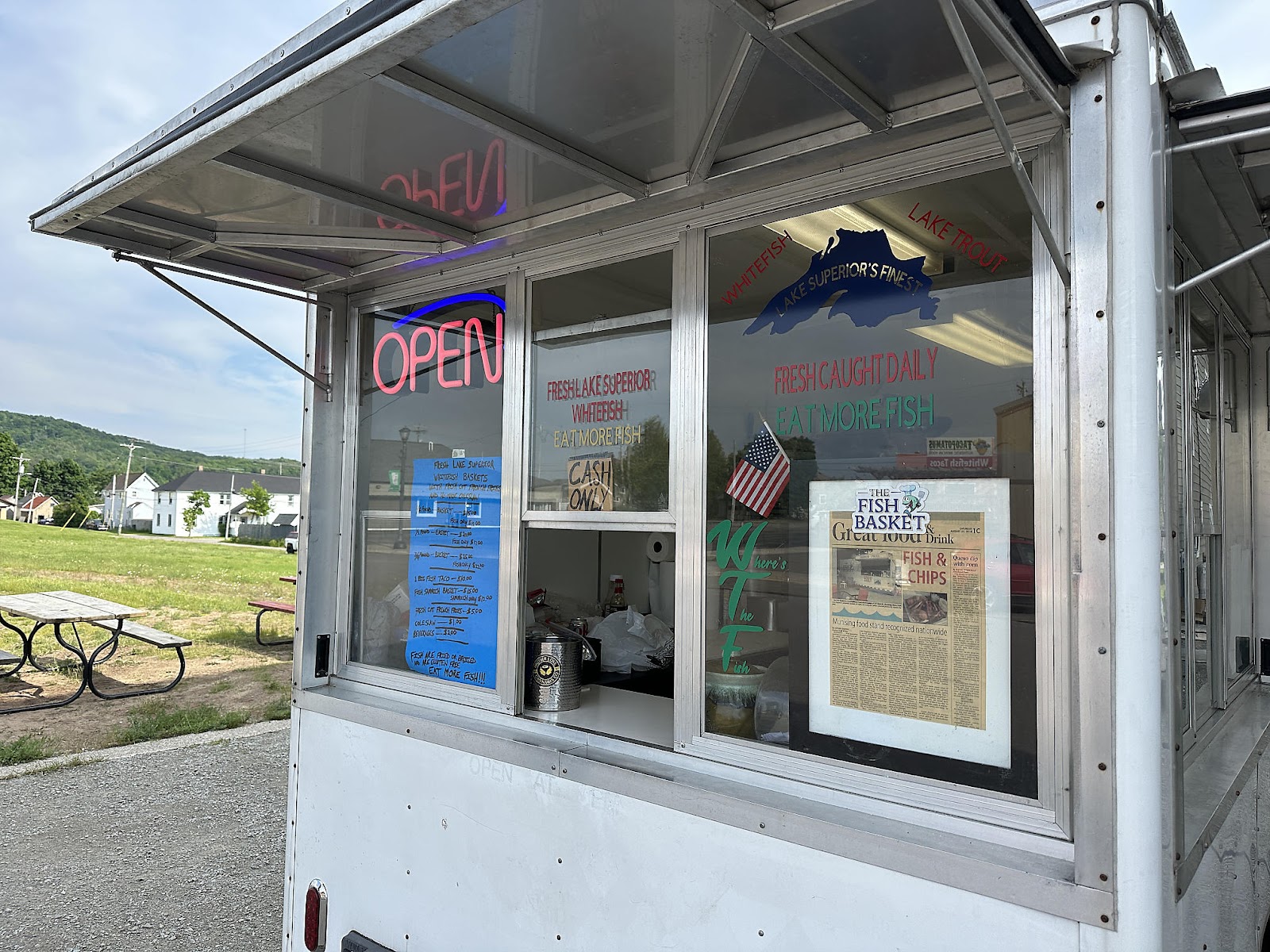
Leaving the Au Sable Light Station in the late afternoon, we drove another hour south-west to the City of Munising Tourist Park Campground, where we'd be staying for the next two nights. Although the name says "Campground", it basically is a large RV park with just a few tent sites. We found our site so we'd know how to get back to it later (in the dark), and then headed out again.

-----


-----
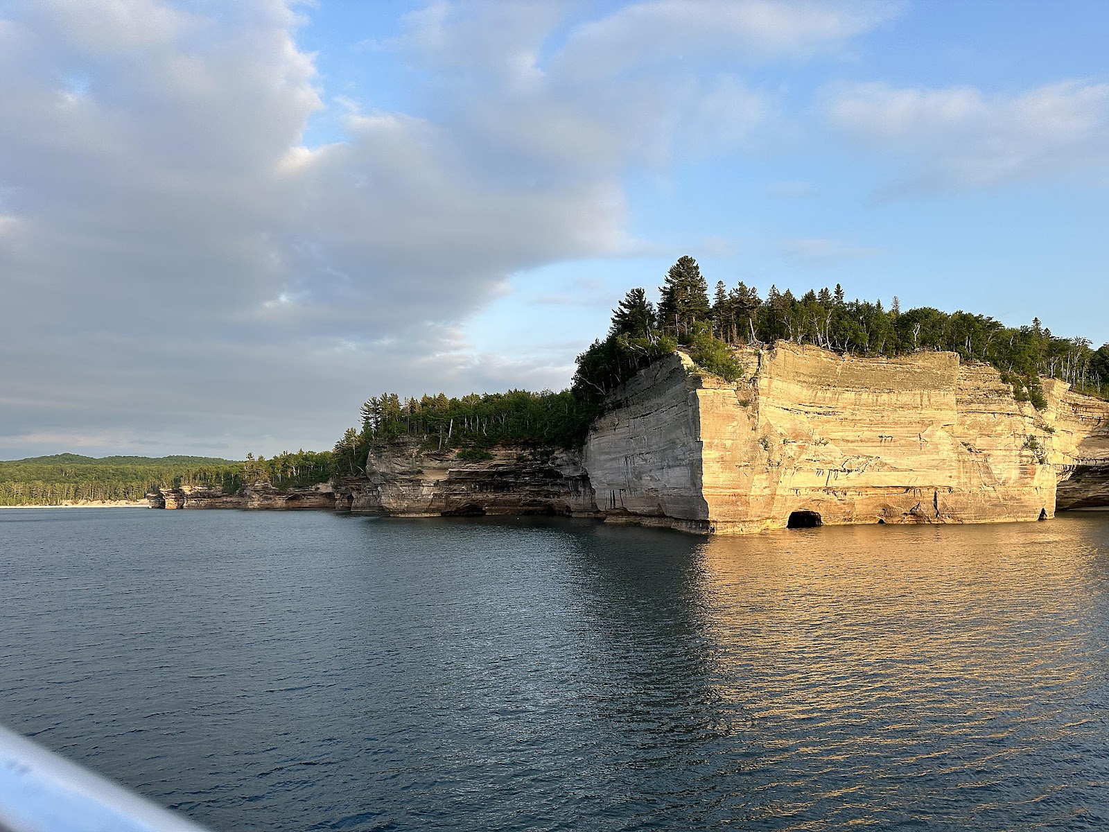
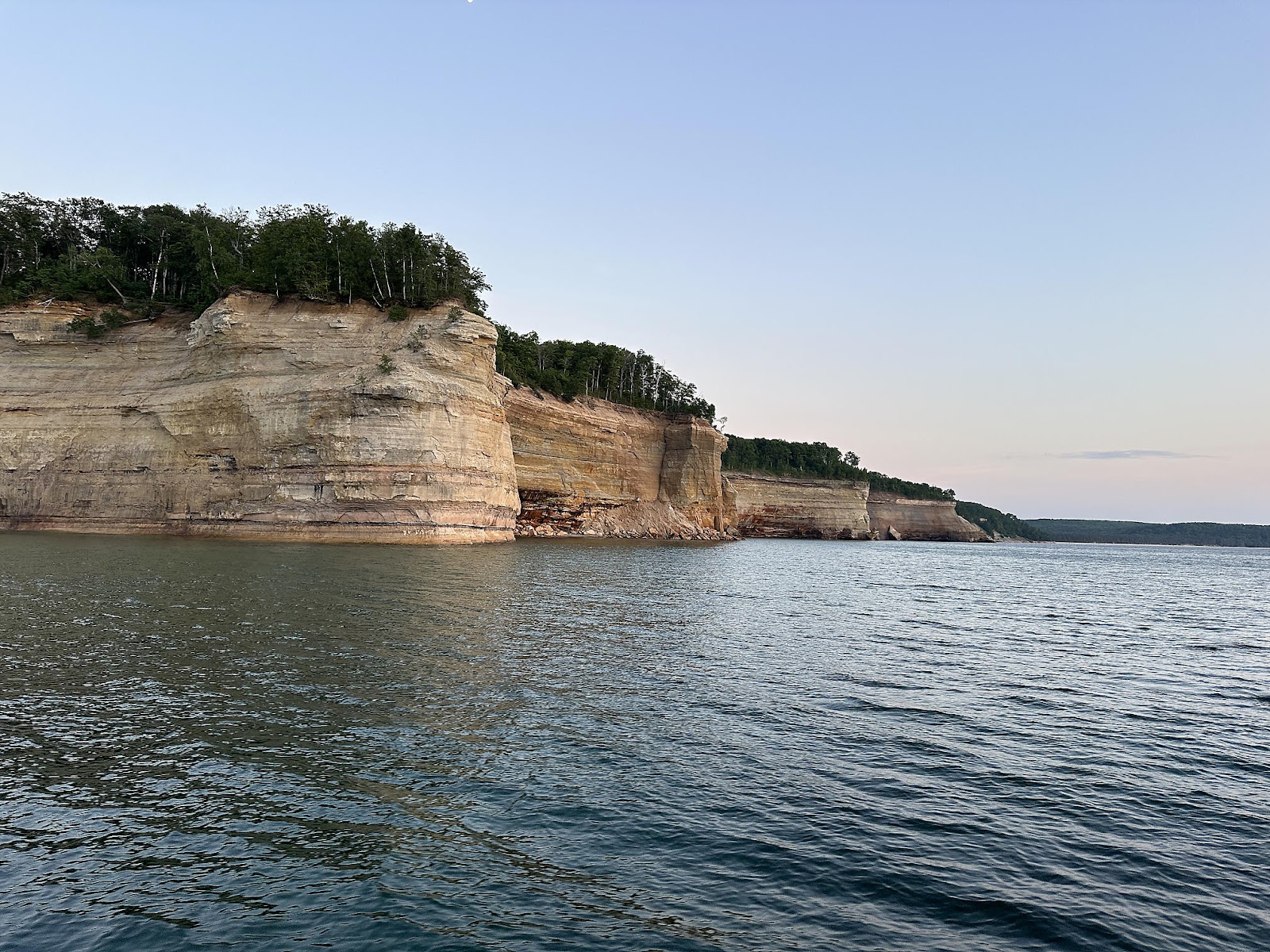
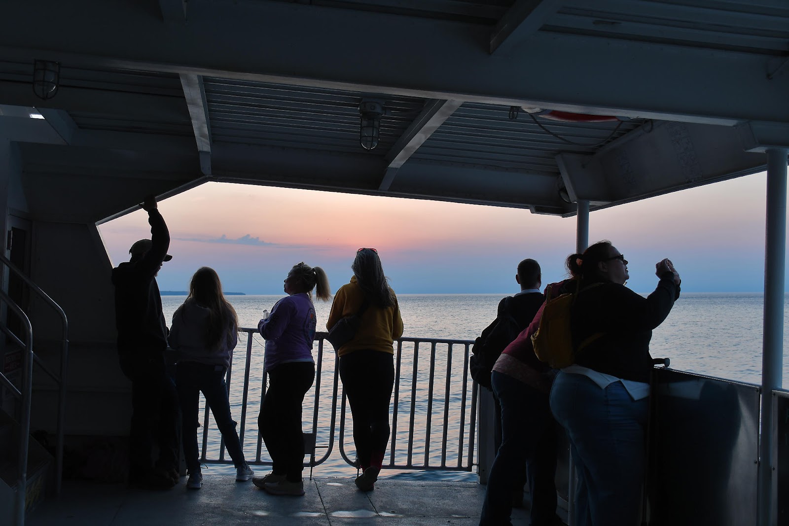
After dinner, we headed to the dock to catch our sunset Pictured Rocks Cruise. It turns out that folks showed up to line up to board way before the recommended arrival time. With the large number of people in front of us in line, we weren't able to secure an edge seat on the top deck like we planned - at least not initially. The family in front of us ended up spending a lot of time below decks once the cruise started, though, so Tom was able to pop into one of their seats for a large part of the cruise.

With the recent rains and cloudy day earlier we were a little concerned about the weather for our cruise, but it actually ended up being "not too bad".
 The first point of interest on the cruise was the East Channel Lighthouse on Grand Island. Constructed of wood, it was put into service in 1868 to guide boats from Lake Superior through the channel east of Grand Island into the Munising Harbor. However, the light was hard to see from Lake Superior so it was replaced by a pair of range lights in 1908. The lighthouse and the surrounding land are privately owned now, so practically the only way to see it is by boat.


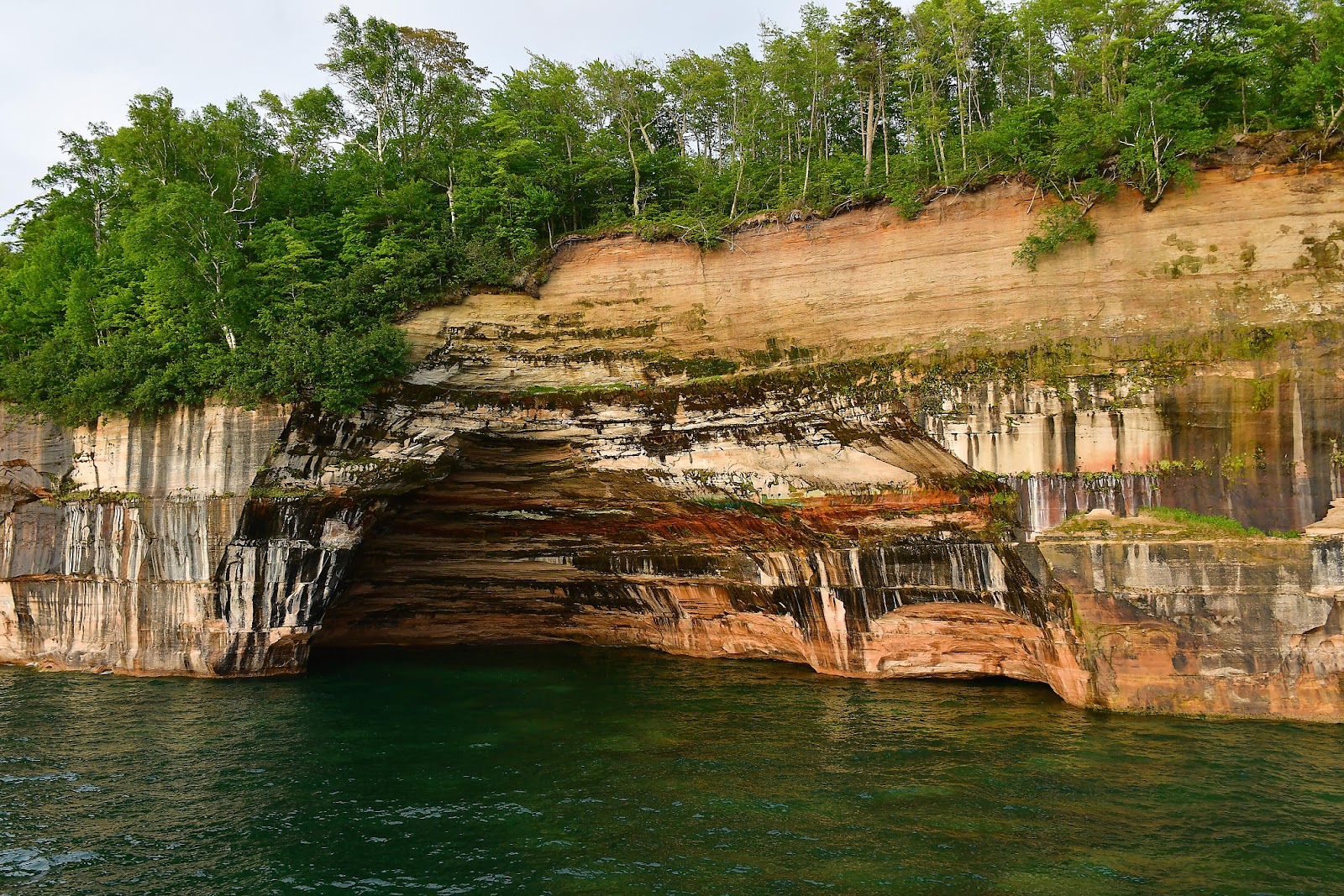
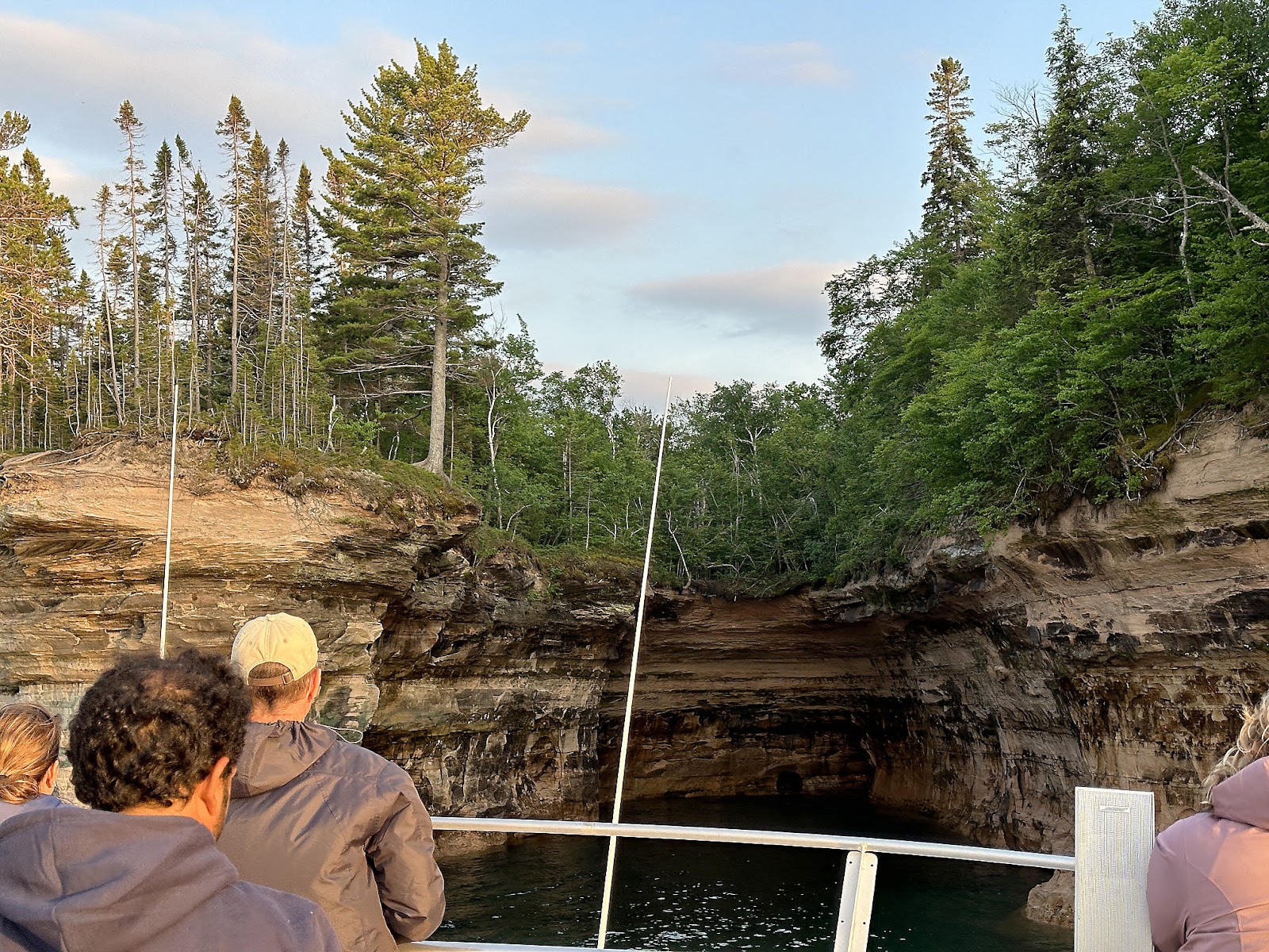
These are the aptly named Caves of All Colors. Legend has it that the Native Americans feared the caves, because they believed them to be places of execution. A 1957 Munising News article claimed "The vermillion coloring was thought to be the blood of victims within the caves. The Indians named the place 'Caves of the Bloody Chiefs.'"

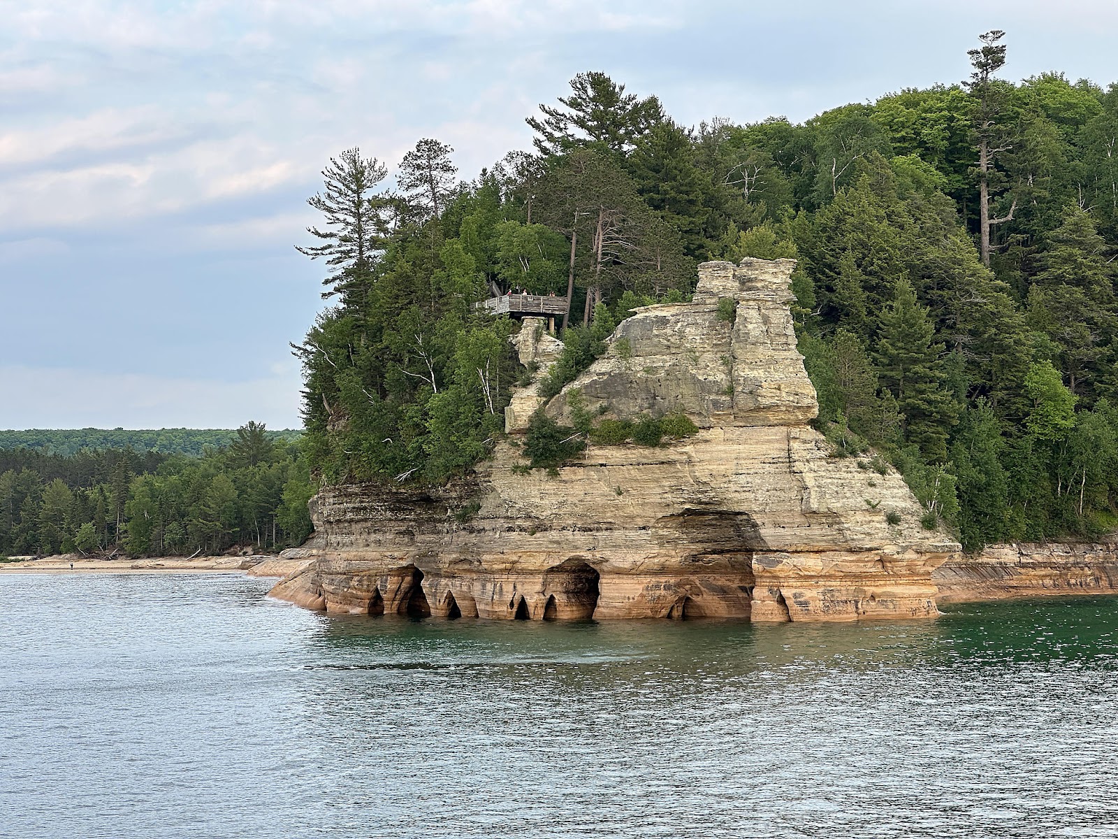
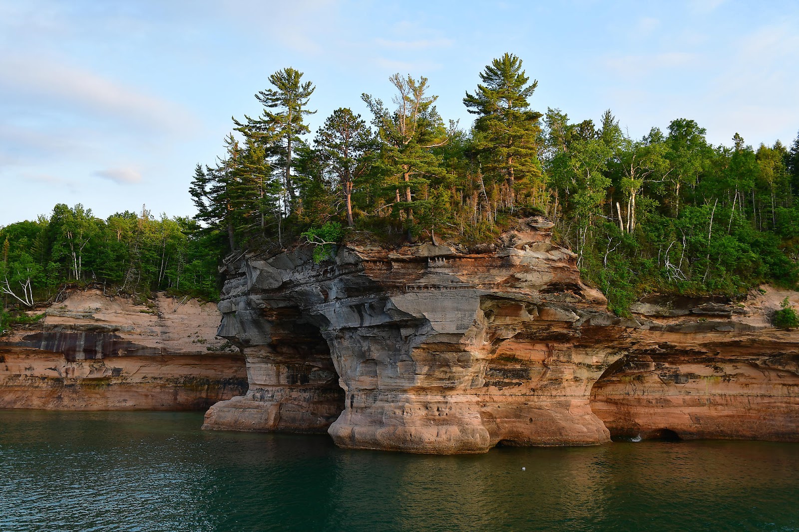
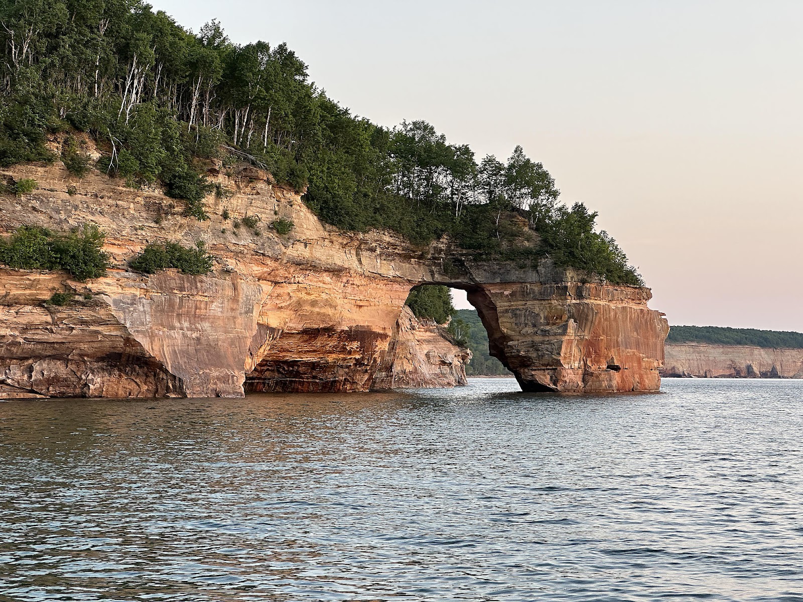
Lovers' Leap, with its heart-shaped arch (you kind of have to tilt your head to the side 😉), is another iconic Pictured Rocks photo spot.

This pile of rubble isn't on the official list of anything, but to us it looked like some sort of critter. Dog? Iguana? We weren't quite sure.


On a tree high up on one of the cliffs, a bald eagle was looking around. (Unfortunately, getting a clear photo of a bird in a high tree from a moving boat at sunset is near impossible. 😉)


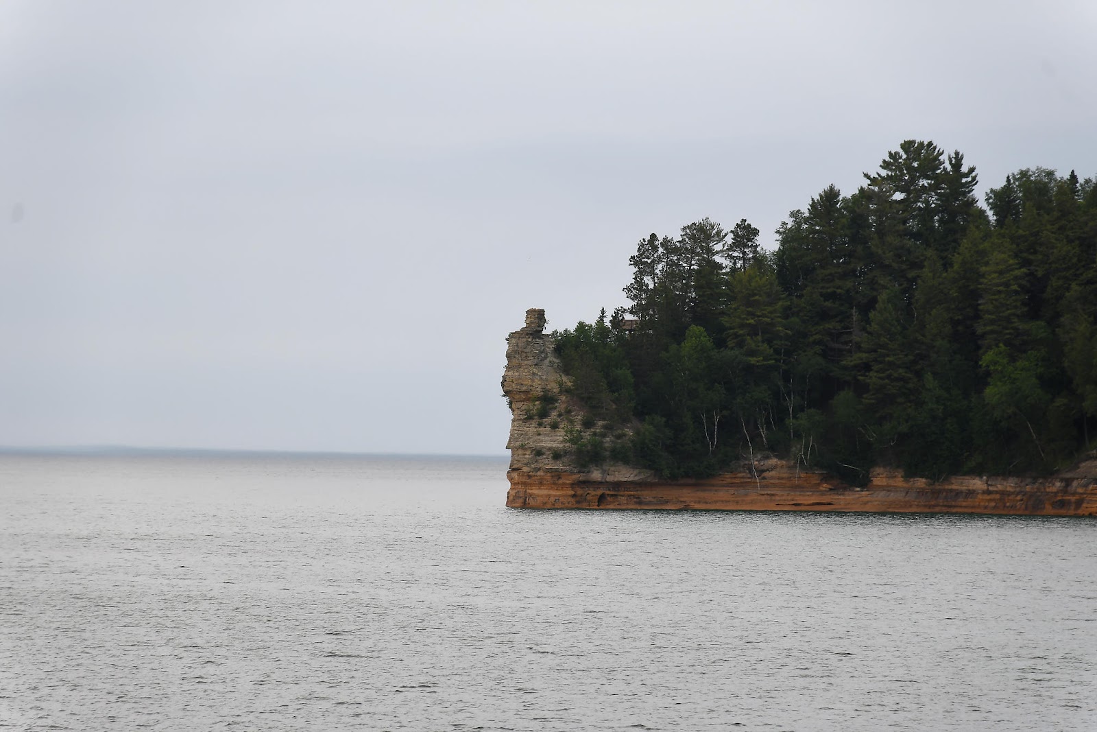
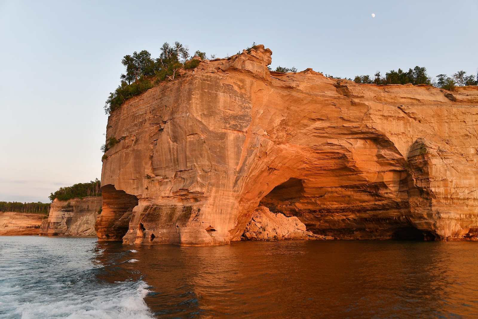
We were a little too late to see the Grand Portal in all its glory - about a century too late, since it collapsed in the early 1900's. It reportedly was quite the sight back in the day, though, and large enough to drive boats through.


-----
We got back to camp after dark, and got ready for bed. Tomorrow would be another day in Munising - but we had a task to take care of in the morning before we could get back to the fun sightseeing...


Comments
Post a Comment