Iowa, Part 3 - Maquoketa Caves State Park [240529]
Who doesn't like a good cave? We certainly do, so we couldn't pass up the opportunity to explore the Maquoketa Caves while passing through Iowa. Maquoketa Caves State Park claims to have 13 caves in total, but a number of them are tiny and require crawling or wriggling through; we planned to just explore the ones you can stay relatively upright (and clean 😉) in.

-----
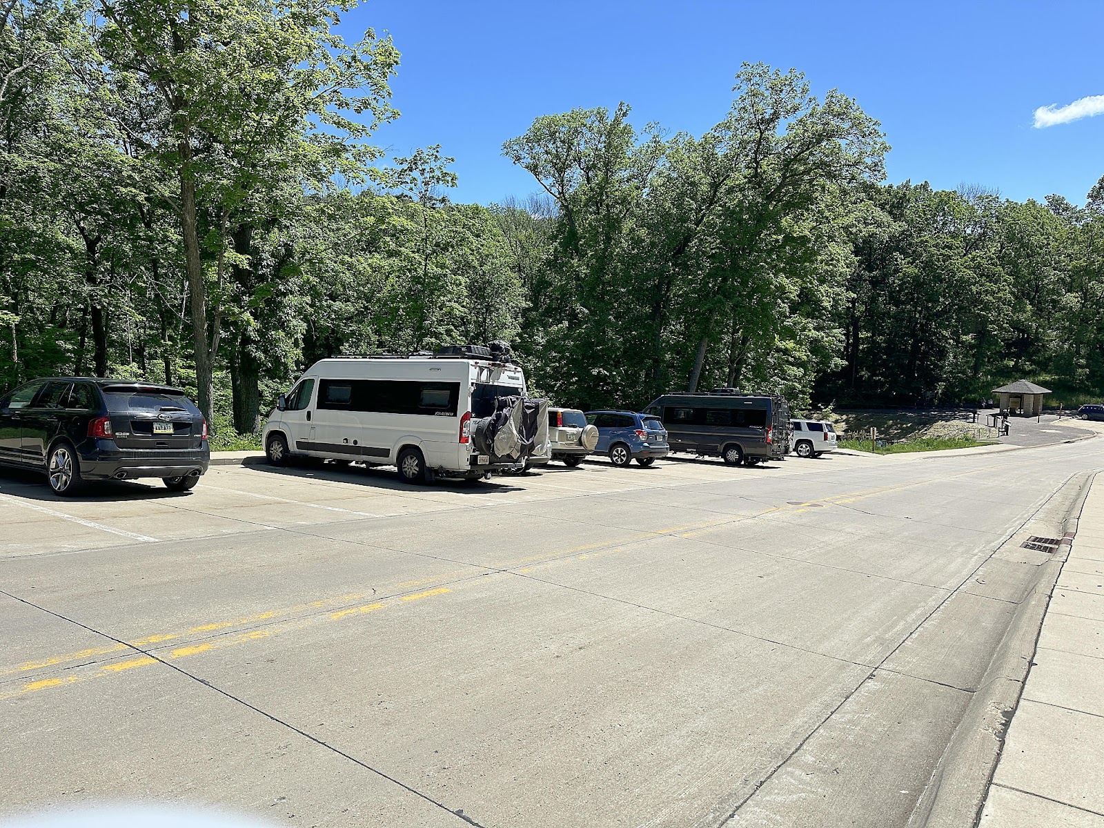
Despite the rainy night, the skies were mostly blue Wednesday morning when we woke up and our campsite appeared to have drained fairly well. On her morning walk, Christine spied another Travato in the Caves parking area and struck up a conversation with its owner. He happened to be Tim Dunkel, one of the more well-known members of the TOWB Facebook Group - not only for his travel posts, but his maintenance and accessorizing posts as well, which often involve mixing his Travato and sewing hobbies. She returned with a pair of "Tim Dunkel original" drink cozies (which probably were designed for cans, but work just fine on our kombucha bottles as well) - a gift that he carries for other Travato owners he meets along the way (appropriately "bee" themed; in case you weren't aware, bee decorations/accessories are popular amongst the Class "B" RV crowd).

The first leg of our hike was out to see Balanced Rock, which was a little harder than expected. Unlike most other rocks of the same name that we've come across, this Balanced Rock doesn't come to a point or, even narrow, on its bottom. We actually walked right past it the first time without realizing it, and had to go back to find it. Tom declared it more of a "Resting Rock" than a Balanced Rock - but that's probably why they don't let him name things.

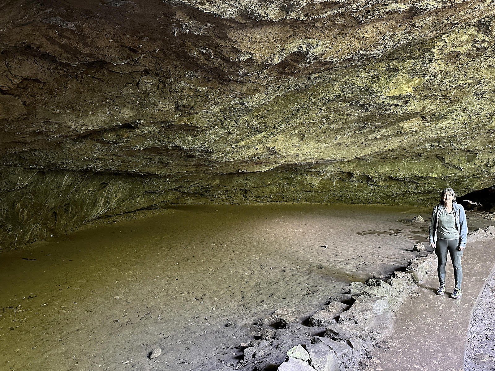
Next we went off in search of some of the park's caves, starting with Rainy Day Cave. It had a series of inner chambers you could explore, depending on how low you were willing to stoop, and how wet you were willing to let your feet get; we went as far as the stepping stones and boards allowed us to go while keeping our footsies dry.

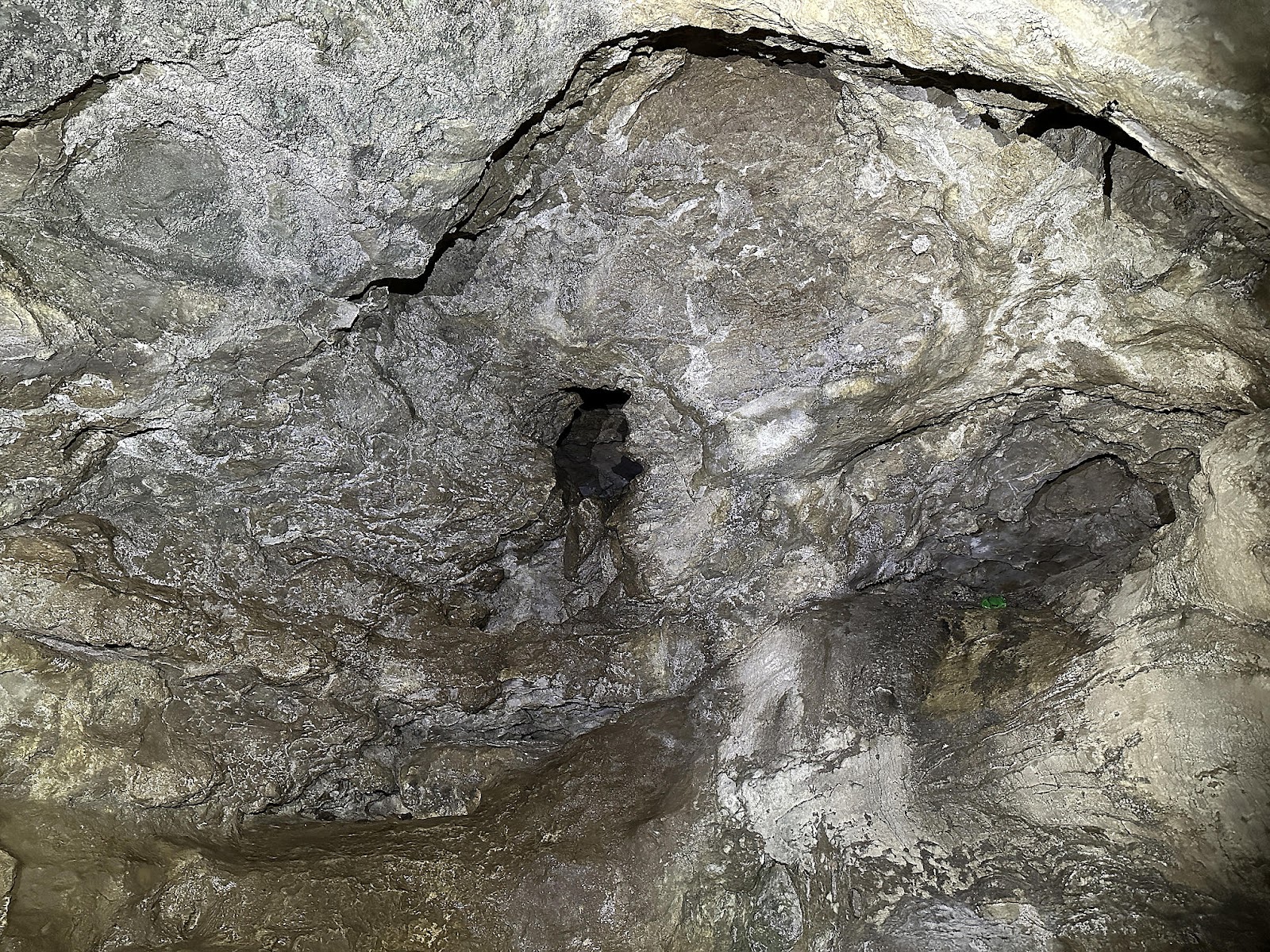


Ice Cave similarly had multiple chambers inside but was thankfully drier, and was forming new stalactites as well (the original ones having long since been stolen by bygone tourists).


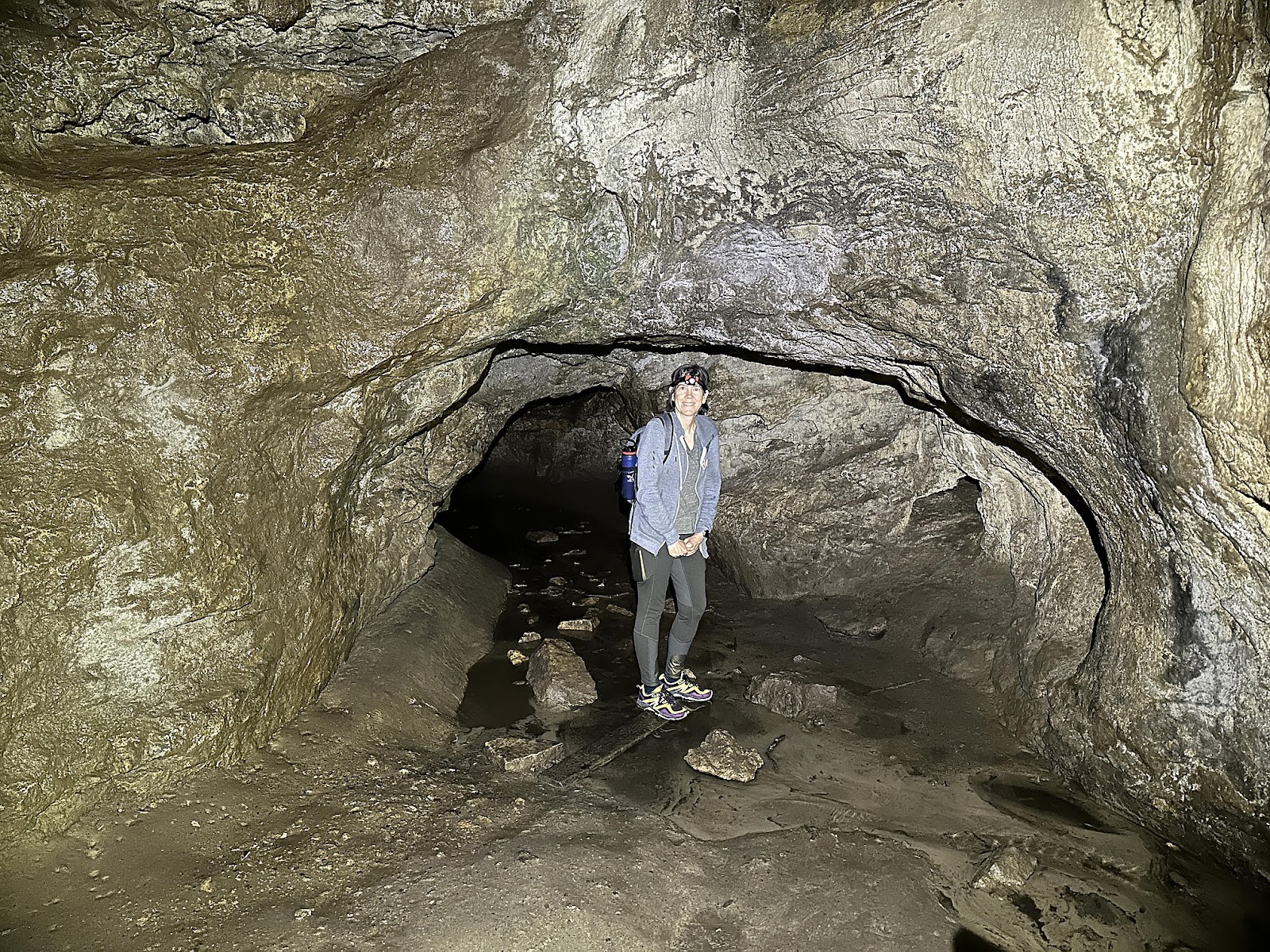
Dancehall Cave was easily the most impressive of all the caves in the park - and the most massive, being long enough to have three separate entrances (Lower, Middle, and Upper). Dancehall Cave got its name from the fact that they actually used to hold community dances in the cave, back in the olden days. We entered through the Lower Dancehall Cave entrance and walked all the way through to exit out the Upper Dancehall Entrance.


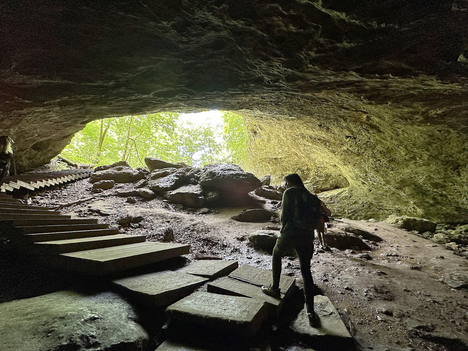
A short distance away from the Upper Dancehall Cave entrance was the Natural Bridge, which was also quite large an impressive.


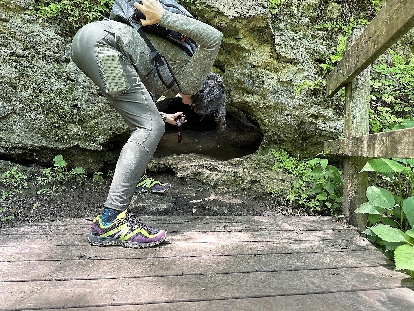
After passing under Natural Bridge, our plan was to finish our visit by finding Window Cave and Match Cave. However, due to a very badly drawn map we ended up on the wrong side of the creek, so took a peek in Up-N-Down Cave first instead. It seemed ridiculous to think that anyone could go in there; as near as we could figure you would need to slide down a narrow tube into the chamber below, making a turn at the bottom that neither of thought we could bend our backs to make.

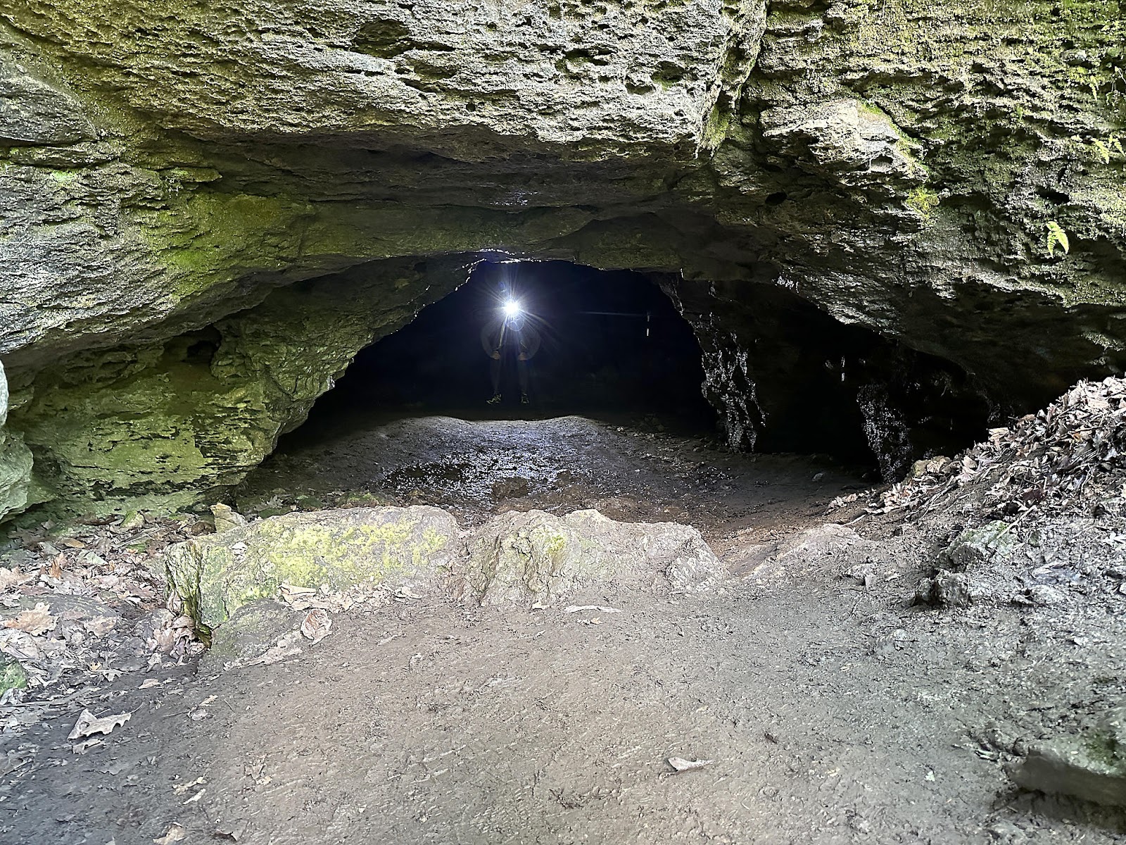
We found a way to cross the creek and found Window Cave, which was smaller than most of the earlier caves but still had some interesting elements inside - most notably a number of interior walls (and ceilings) with holes in them, which we're guessing are the "windows".


Match Cave ended up being small, and not picture worthy. We drove back to the campsite to have lunch, since trying to prepare and eat lunch in the severely tipped Caves parking spot didn't seem like it'd be a lot of fun.


Comments
Post a Comment