Although we only spent a little over a day at the Sleeping Bear Dunes, we crammed quite a bit into our visit: a scenic drive, a walk through a historic village, and a dune hike.
(Editor's note: don't forget to check out our latest trailer Trailer 6 - Ricketts Glen State Park [241002-05], if you haven't already!)
-----
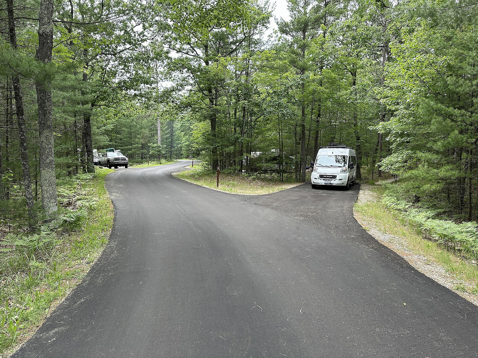
We left Aunt Michele and Uncle Larry's on Sunday morning with our bellies full of fresh blueberry pancakes and bacon, which was a very nice change from our usual breakfast of cereal. We stopped at Aldi in Big Rapids for groceries, and then proceeded to our next destination about 114 miles NW of Mecosta: Sleeping Bear Dunes National Lakeshore. After checking in to the campground, we had dinner and then spent the rest of the evening burning through some of our month's remaining Red Pocket data before it expired in a few days, working on the South Dakota, Part 3 blog post.
-----
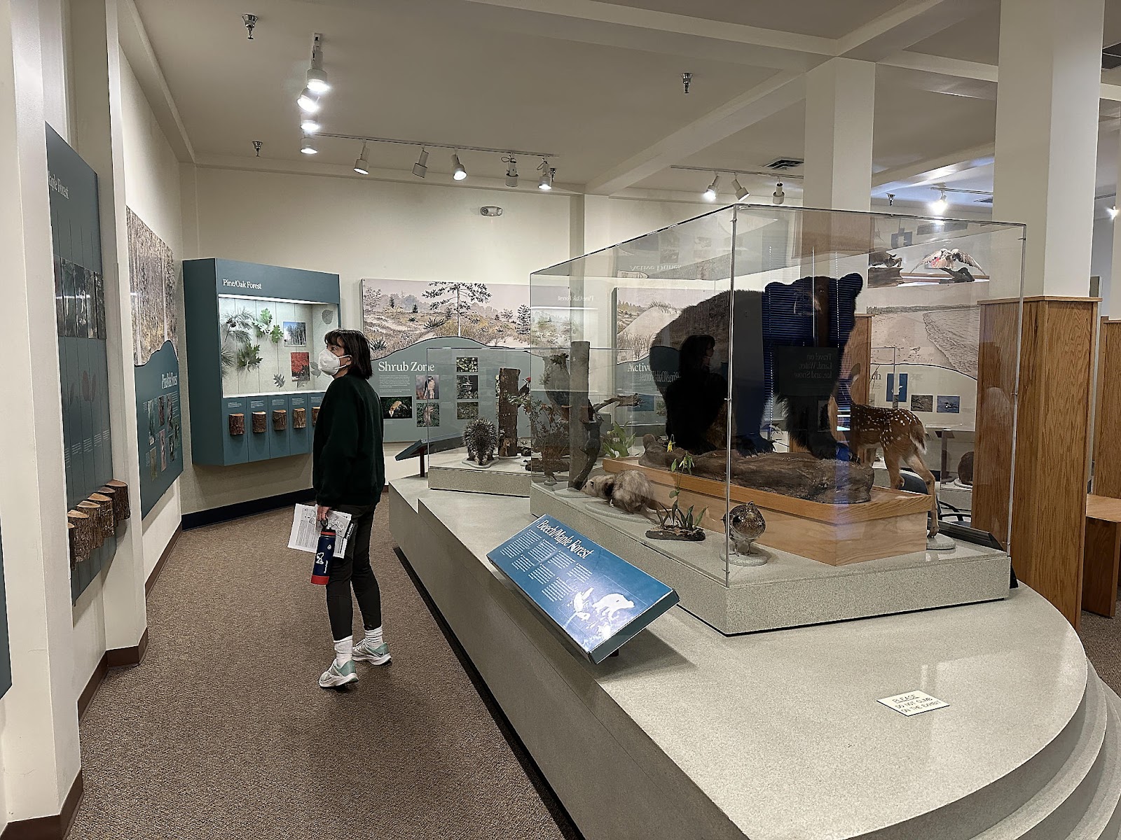
Monday morning, we started our exploration by driving out to the Visitor Center. There, we were just a little disappointed to find that - despite all the cute little bear logos on the signs, T-shirts, etc. - there's nothing at the lakeshore that's actually shaped like a bear - sleeping or otherwise. At least not any more. The name comes from an old Ojibwe legend that tells of how the two islands off shore, and a large sand dune on the shore (which apparently used to resemble a sleeping bear?), came into being. We got some advice on things to see and do, watched the 17 minute orientation film, and browsed the museum displays.
-----
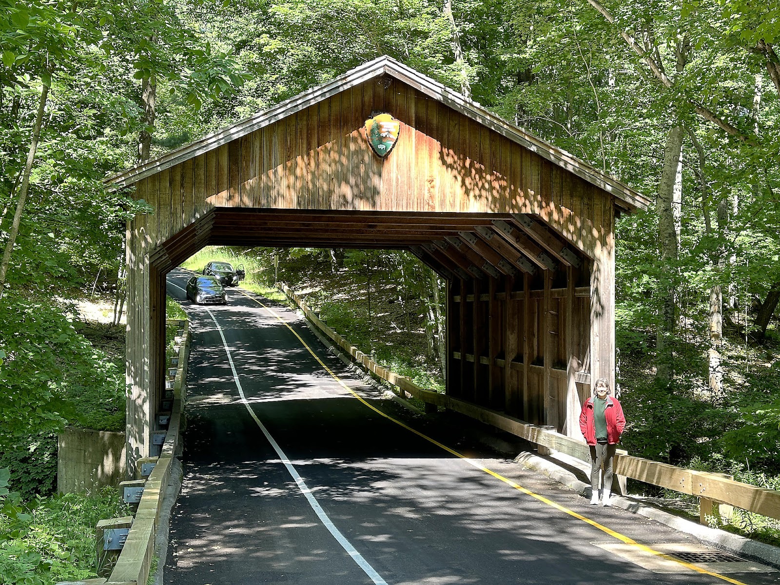
Next, we took the Pierce Stocking Scenic Drive - a 7.4 mile loop with 12 supposed numbered "stops", although not all the stops are actually labeled on the road, and not all of those that are necessarily have parking or are particularly interesting. It had its moments, though, starting with the covered bridge at the beginning.
In our opinion, the Glen Lake Overlook could benefit from some judicious pruning. But Alligator Hill is visible on the left, and Little Glen (which is as shallow as 12 feet in places) and Big Glen (which goes as deep as 130 feet) Lakes are visible around it. The differing shades of blue in the water indicate the different lake depths.
The Dune Overlook was perhaps the most expansive viewpoint of the drive. From it you could see the Sleeping Bear Dunes in the foreground on the left and the South and North Manitou Islands (the bear cubs from the legend) beyond it; Sleeping Bear Bay and the Manitou Passage are the bodies of water between the shore and the islands. The large white barn of the historic D.H. Day Farm can be seen near the center of the pano, and Glen Lake is off on the right.
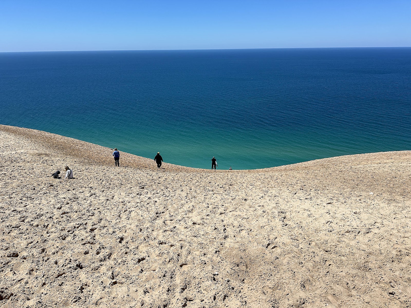
The Lake Michigan Overlook sounded fairly self explanatory - a long wooden platform takes you out to the end of a sandy bluff for views of Lake Michigan. What was a little confusing at first was the piles of socks and shoes at the top of the bluff. Apparently, there are a lot of visitors who aren't content with looking at the view from the overlook and instead
run down the 450 foot sand bluff to the shoreline. Now, the bluff
is steep - so one can see how doing that could be something of a rush for thrill seekers to do. But when you're done, you have to climb your way back
up the 450 foot steep, slippery sand bluff - which doesn't sound like fun at all. There are plenty of signs posted warning you of that fact.
The nearby Sleeping Bear Dune Overlook provides views of the lakeshore's namesake dune. As you can see, it has little resemblance to a bear - sleeping or otherwise - these days.
The North Bar Lake Overlook provided views of Platte Bay, Point Betsie, and North Bar Lake - as well as a special photo-taking spot.
-----
For those folks who want to scramble up a dune safely, NPS provides the Dune Climb area. We stopped by for a look, but had no intention of climbing a dune just for the sake of climbing it at that point.
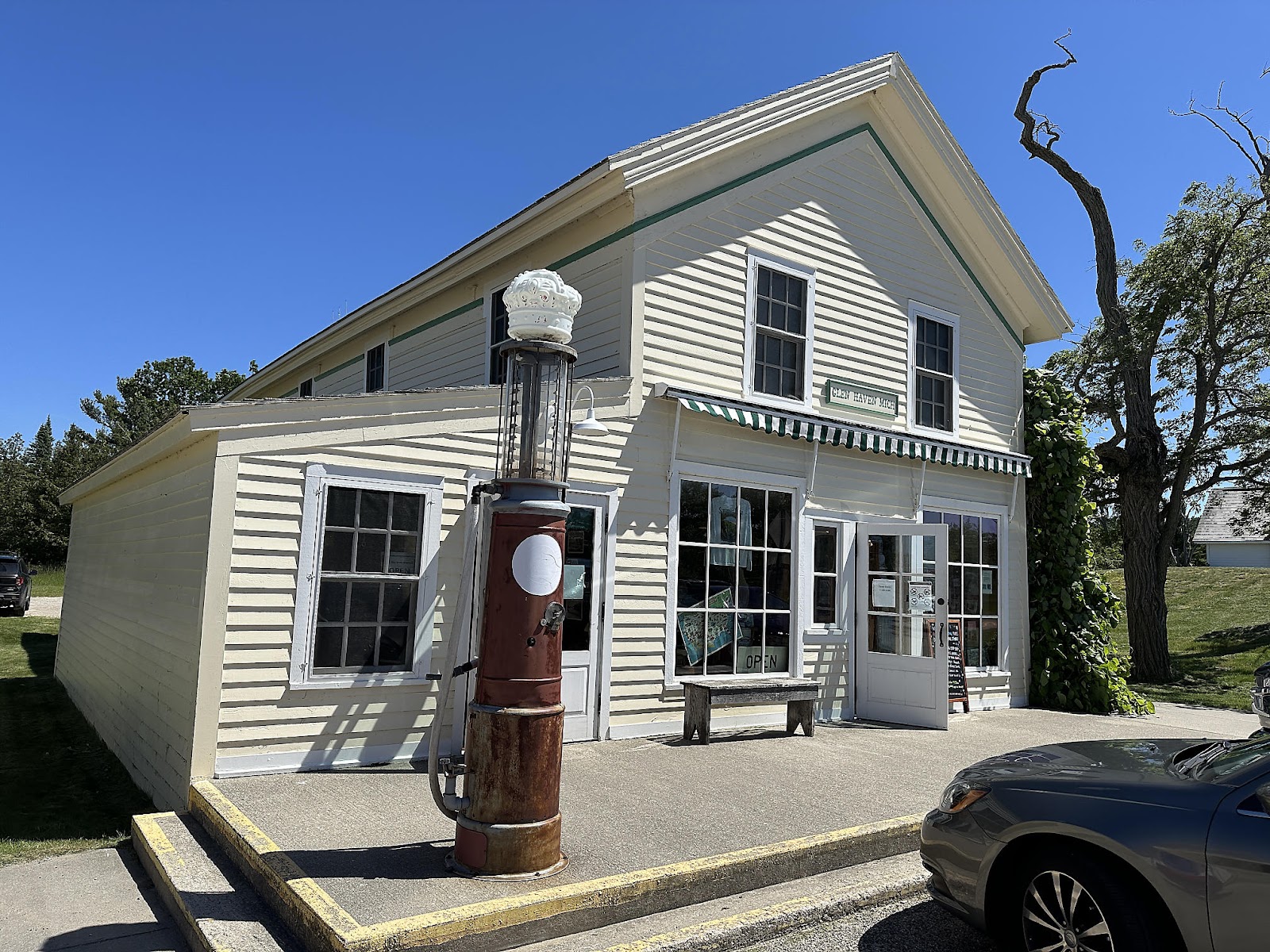
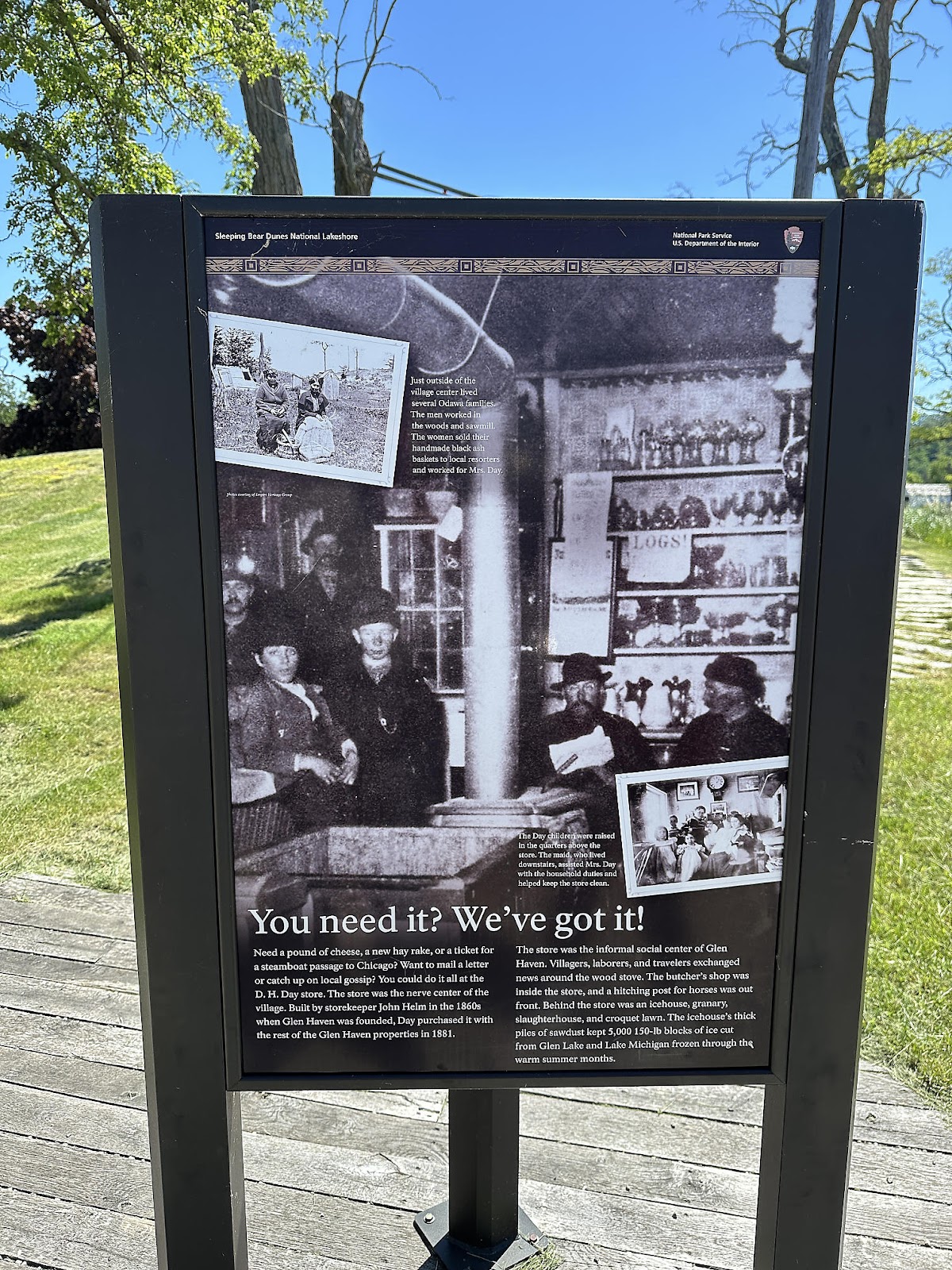
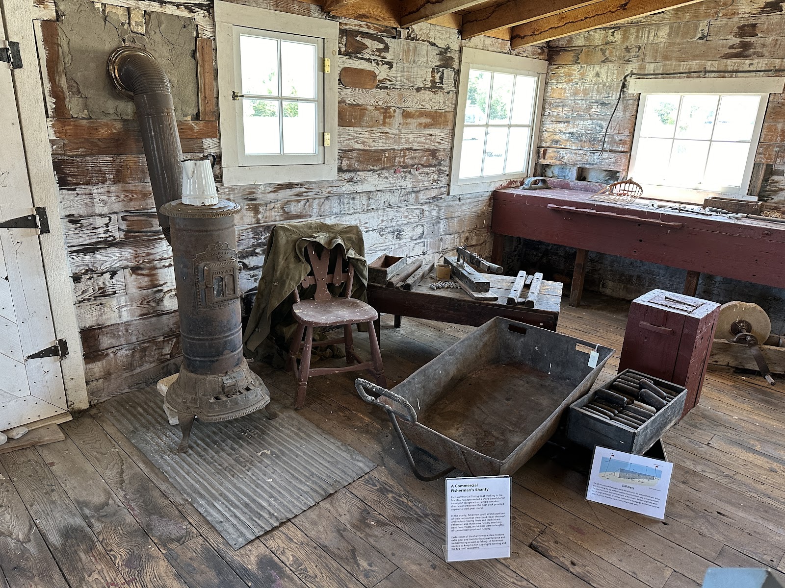
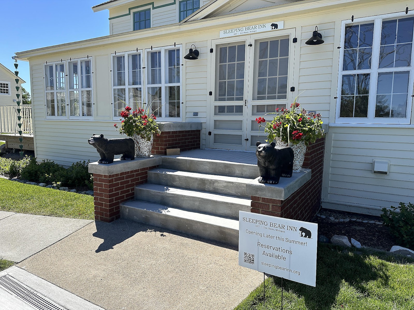
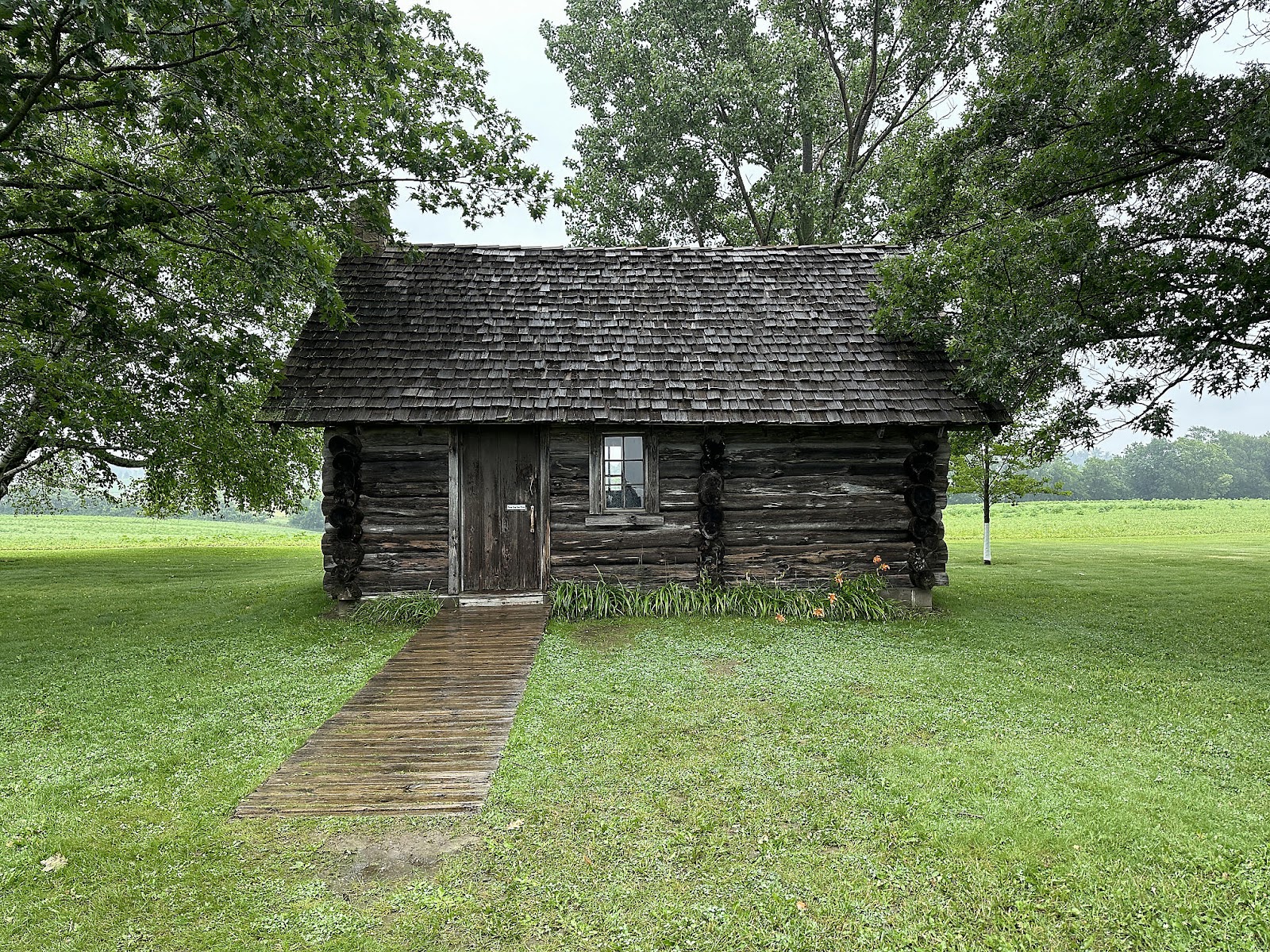
Next, we drove to and walked the Glen Haven Historic Village.
The blacksmith made Christine a ring out of a Diamond Farrier horseshoe nail - a "diamond ring" of sorts 😉. (Horseshoe nail rings, aka Prairie Diamonds, were commonly used for engagements in the 1800's by pioneers traveling west who either couldn't afford or didn't have access to real rings.)
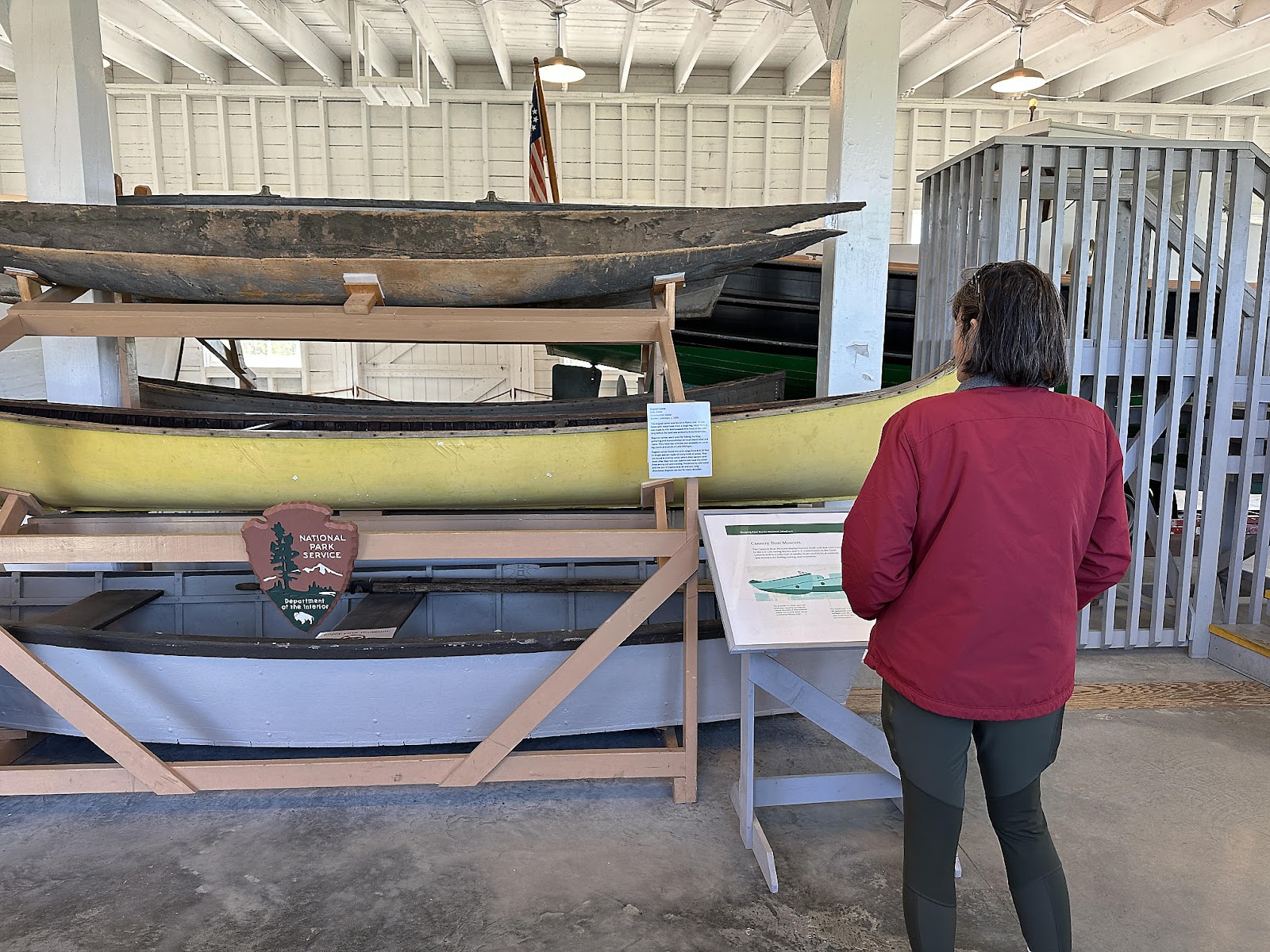
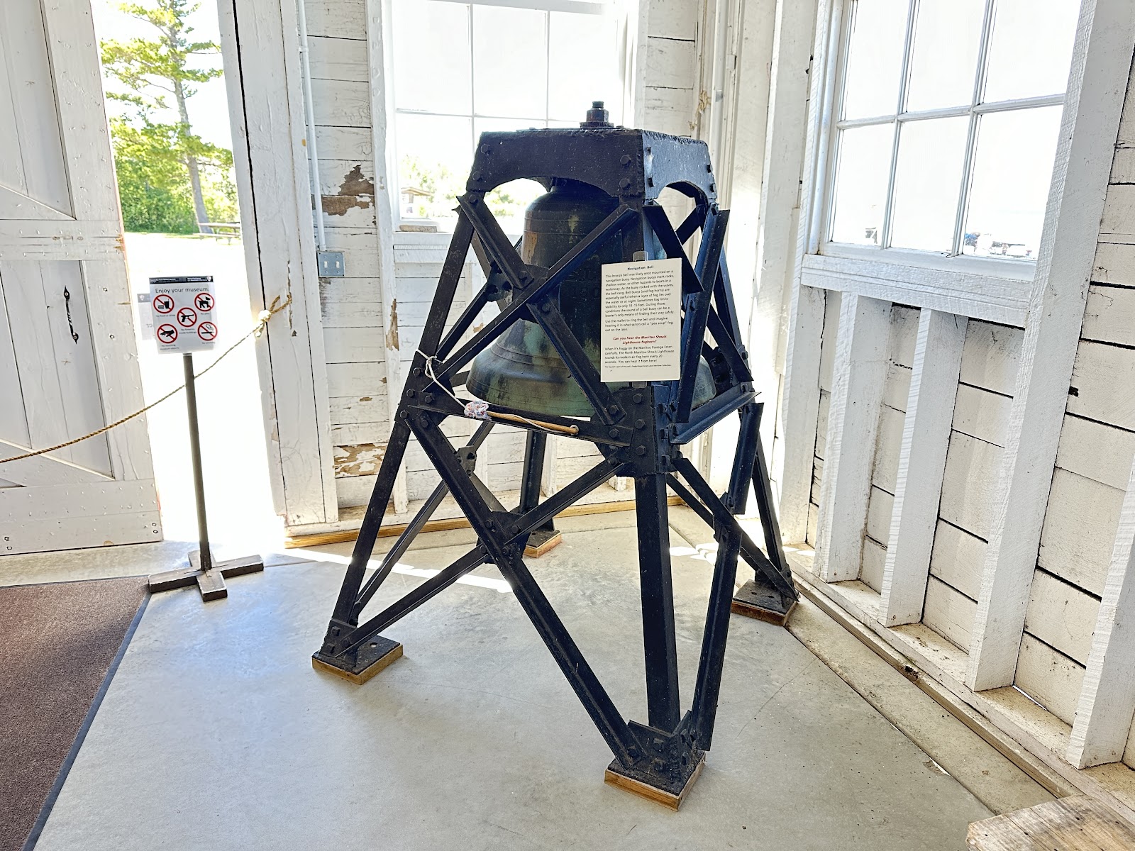
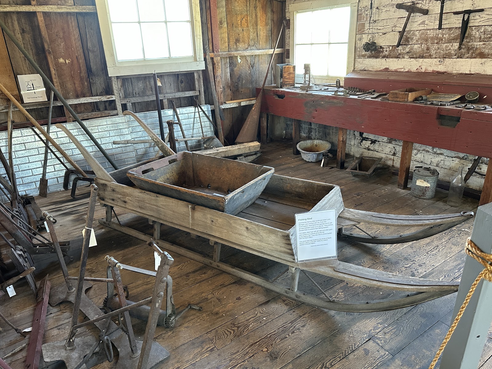
When we first saw the old Glen Haven Canning Co. building, we assumed that it had been used to can fish of some sort (having lived too close to Monterey for so many years, we guess). But it was actually used to can fruit! Today, it houses a boat museum (although there were a few displays inside about the old canning operation as well).
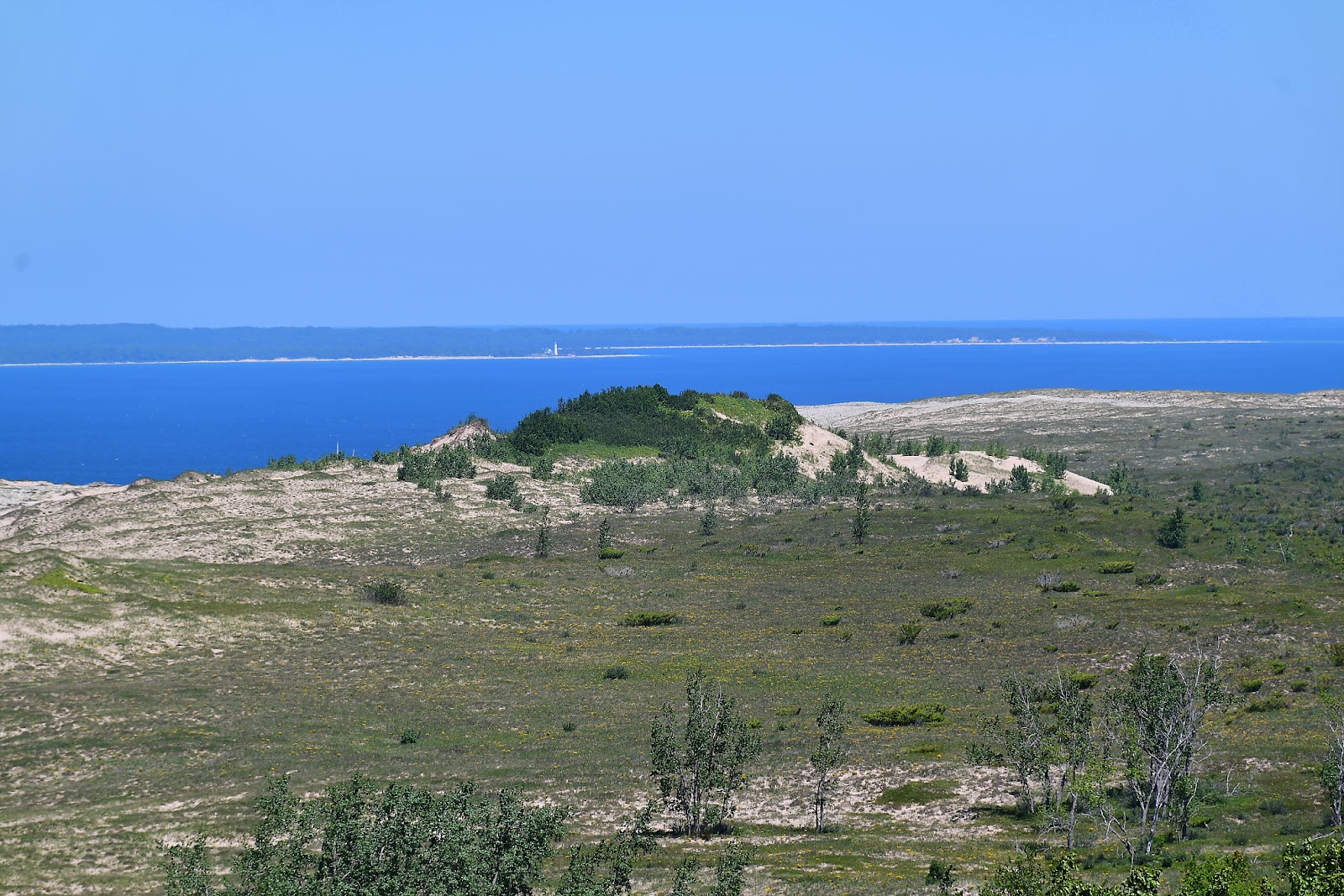
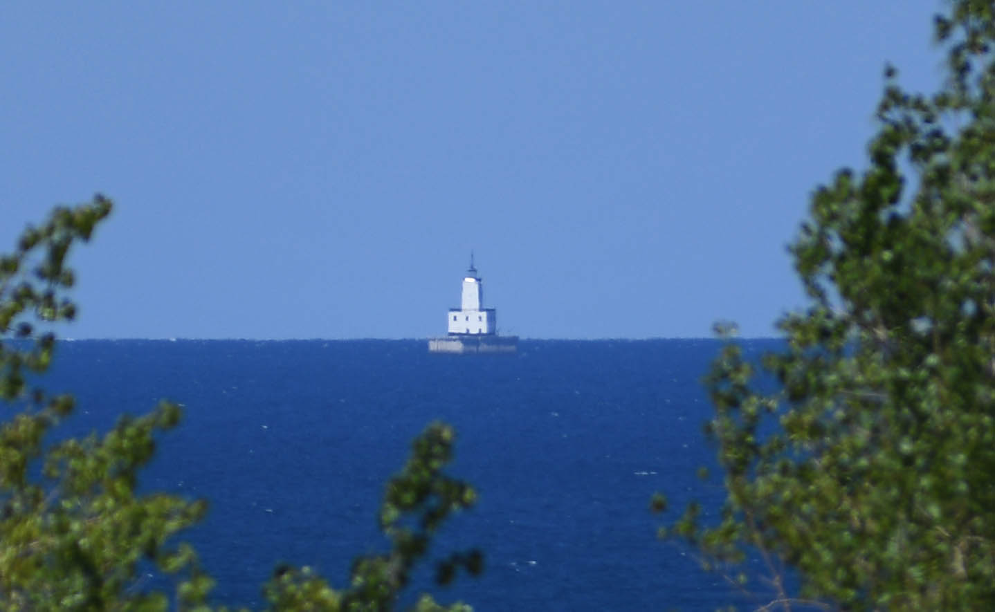
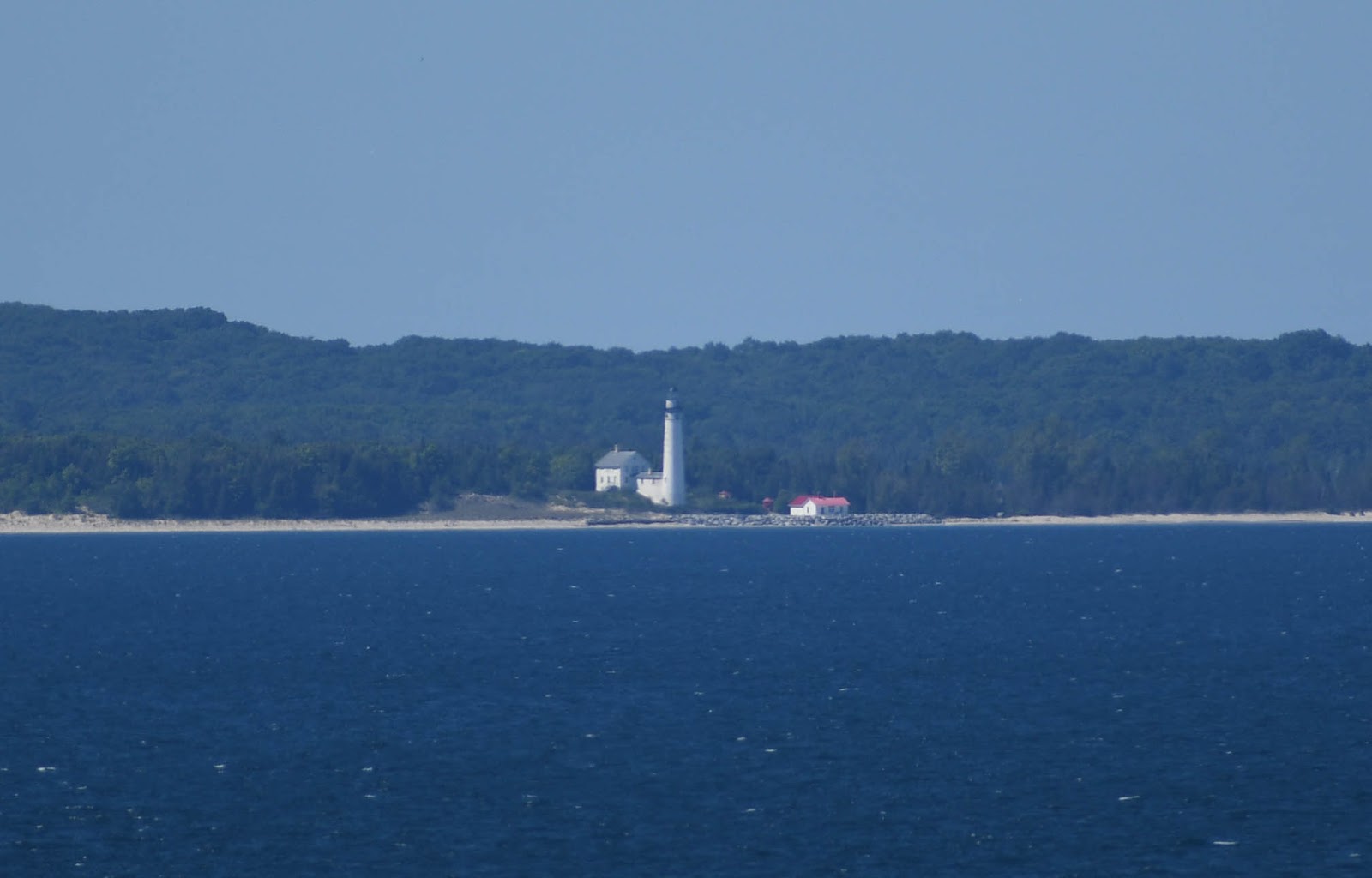
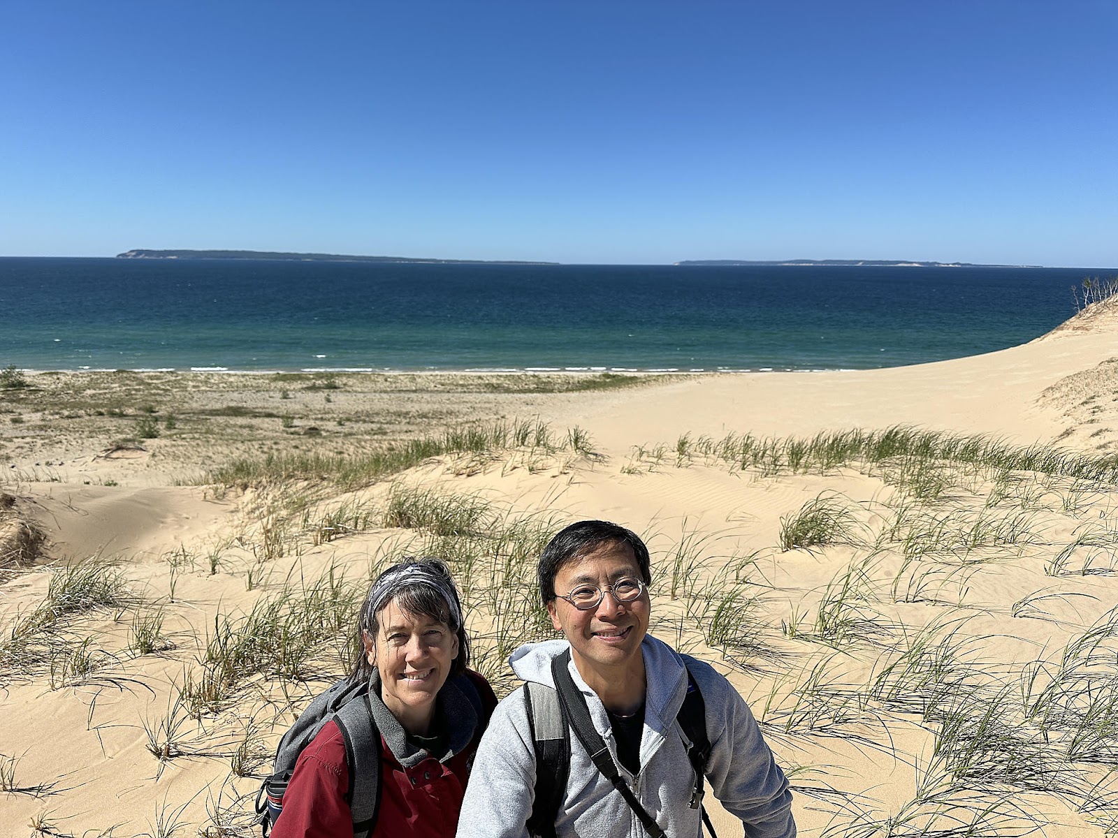
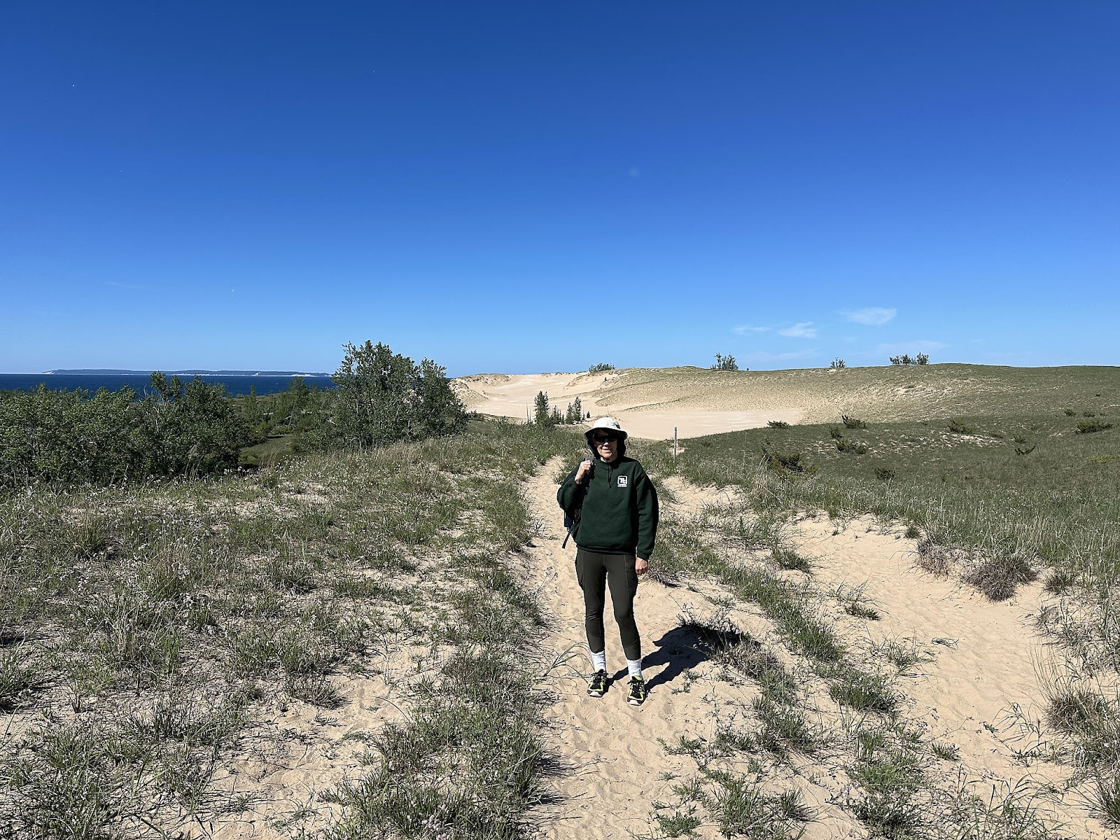
For our final activity of the day, we hiked the Sleeping Bear Point Trail loop. The sign claimed that it would be a 2.8 mile hike, but Apple claimed we had only gone 2.11 miles by the end of it. Over half of it was over sand dunes, though, with "trail markers" few and far between so it's entirely possible that we were doing a "choose your own adventure" for parts of it and not on the official trail; we'll never know for sure. (The photos of North Manitou Shoals Light and South Manitou Island Lighthouse above were actually taken from this trail, and not through the dirty, distorted windows of the Canning Co. building 😉.)
We were delighted to finally find one of the "tree graveyards" that we had been hoping to see in Indiana Dunes, but never found. Sleeping Bear called them "ghost forests", but they're essentially the same thing: trees that got buried by blowing sand, killing them, that later became exposed again by wind erosion.
Back at the campsite, we stayed up late finishing the South Dakota, Part 3 blog post and prepared to head out for new Michigan adventures in the morning.


Comments
Post a Comment