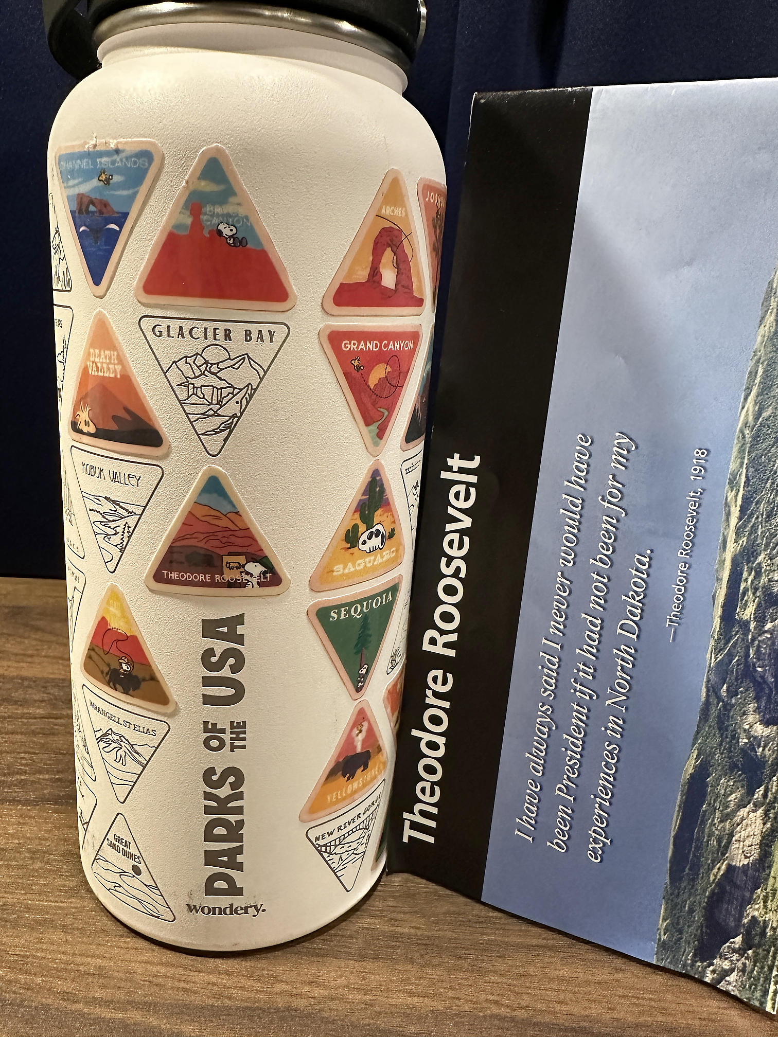
North Dakota, Part 2 - Theodore Roosevelt National Park, Part 2 and More of the World's Largest [240522-24]
Having seen most of the accessible parts of the South Unit our first day, we spent our second day exploring the nearby area before moving on to the North Unit and beyond.

-----
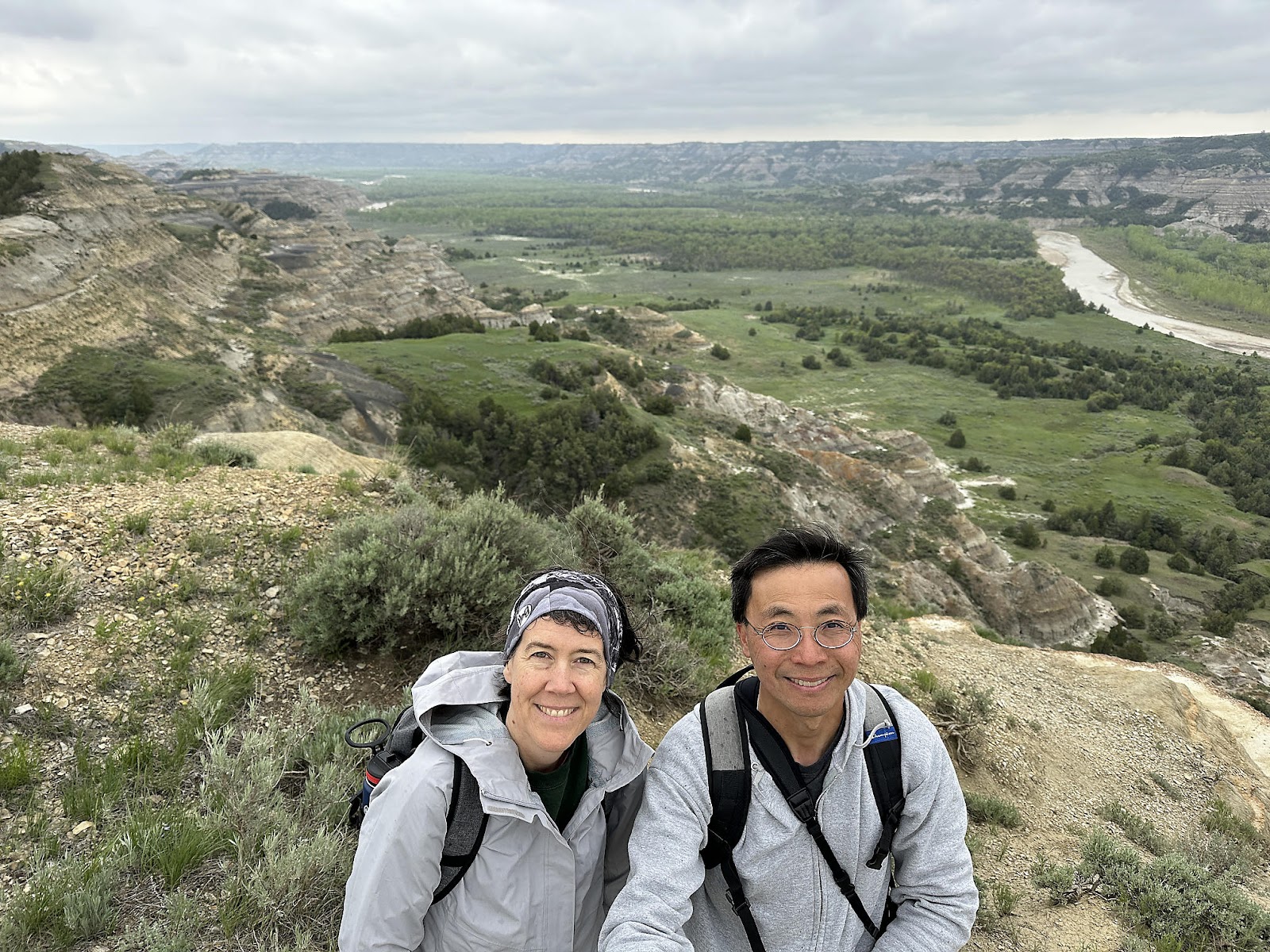
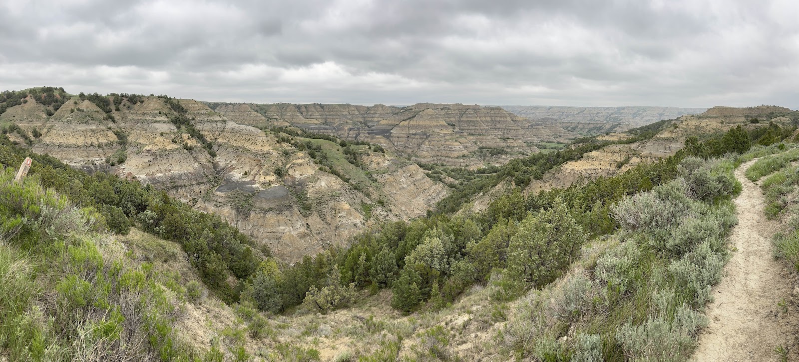
On our way back to the Painted Canyon Visitor Center Wednesday morning, we stopped by some of the South Unit's remaining overlooks - starting with the Skyline Vista Overlook, where you get a view of where the prairie meets the badlands. While using her binoculars to look for wildlife, Christine also spotted a pair of coyote down by the freeway; Tom was able to get a couple of blurry photos using his longest zoom lens.


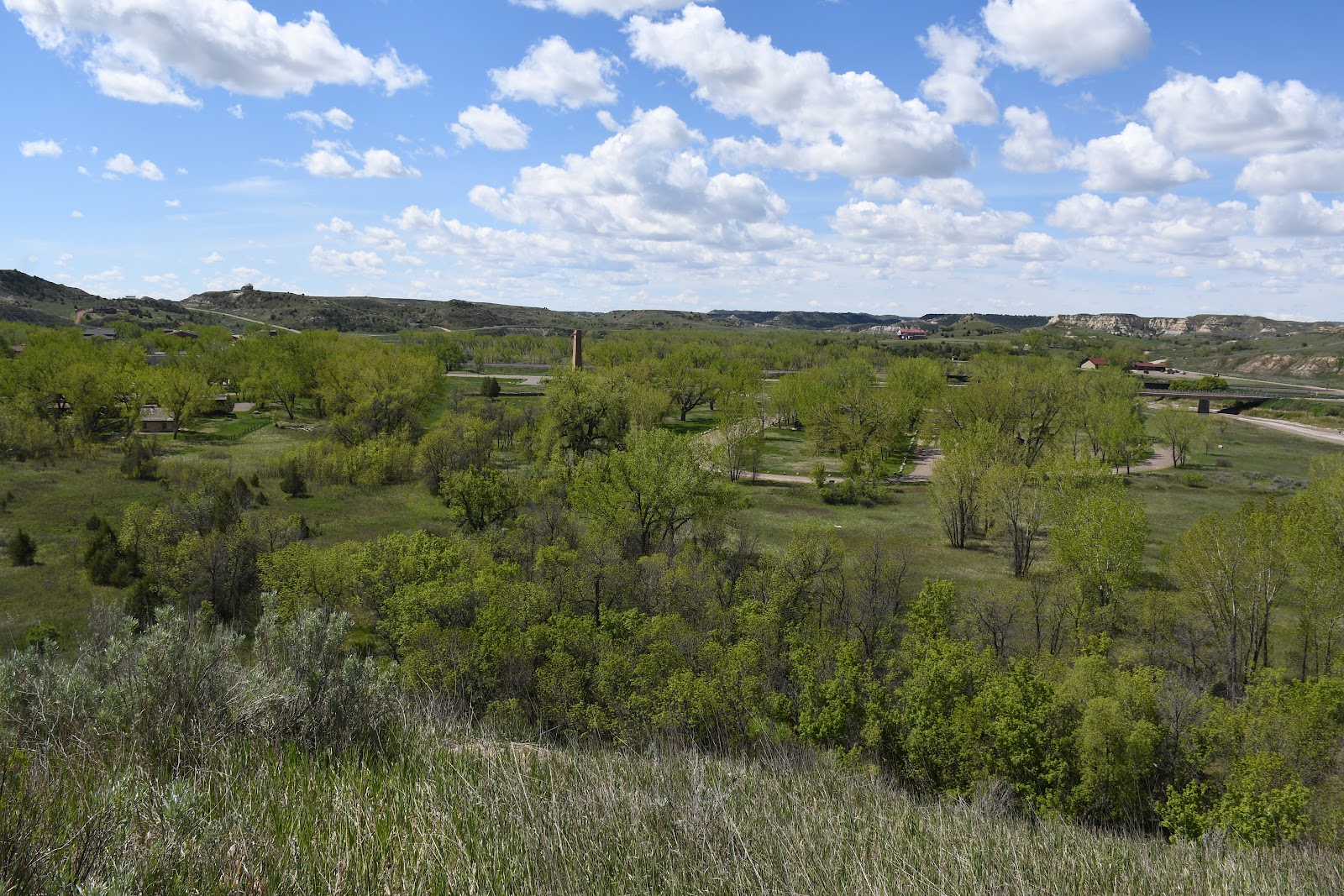
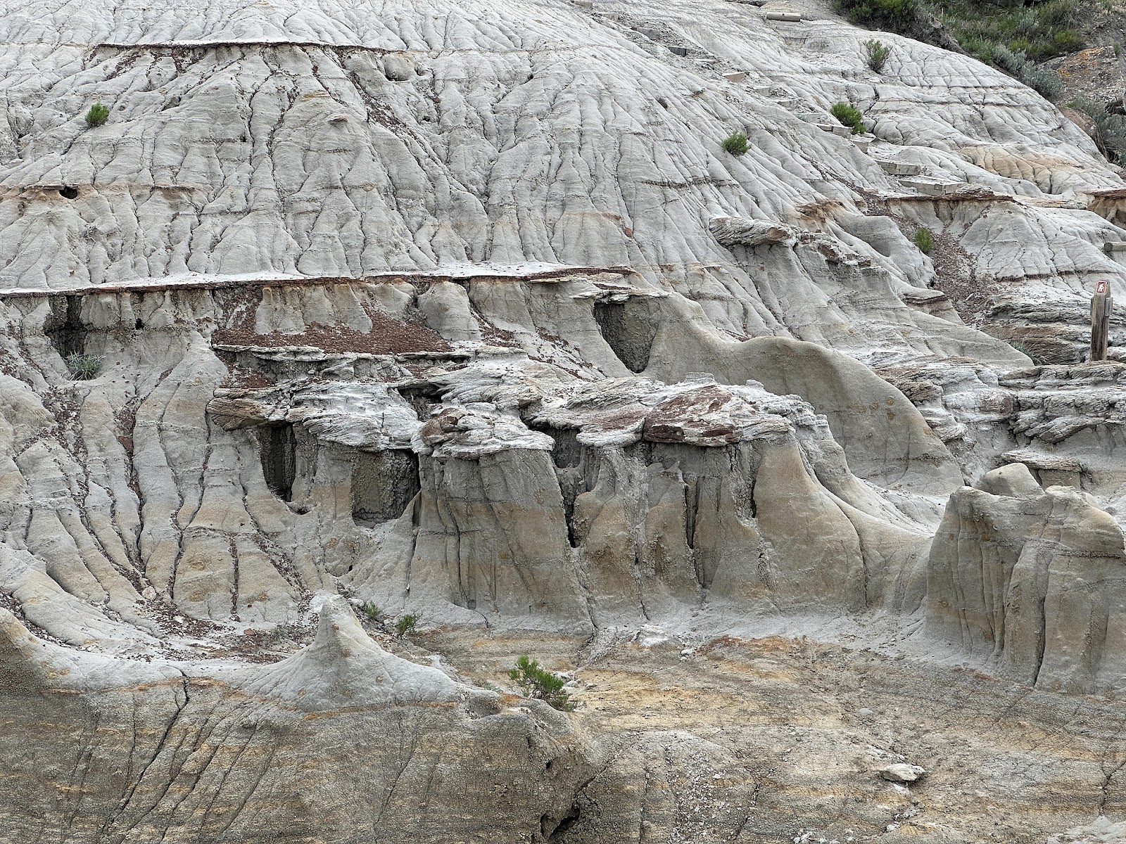
The Painted Canyon Overlook Visitor Center was open when we arrived, so we browsed it quickly (it's more gift shop than interpretive center; since it's closed half the year the interpretive signs are mostly located outside and we had read them all already), and debated buying a plush prairie dog (no, there are still no plush animals in the T42 🙁). Then we hiked the short mile long loop trail down into the canyon itself (45 minutes, 264 feet elevation gain).


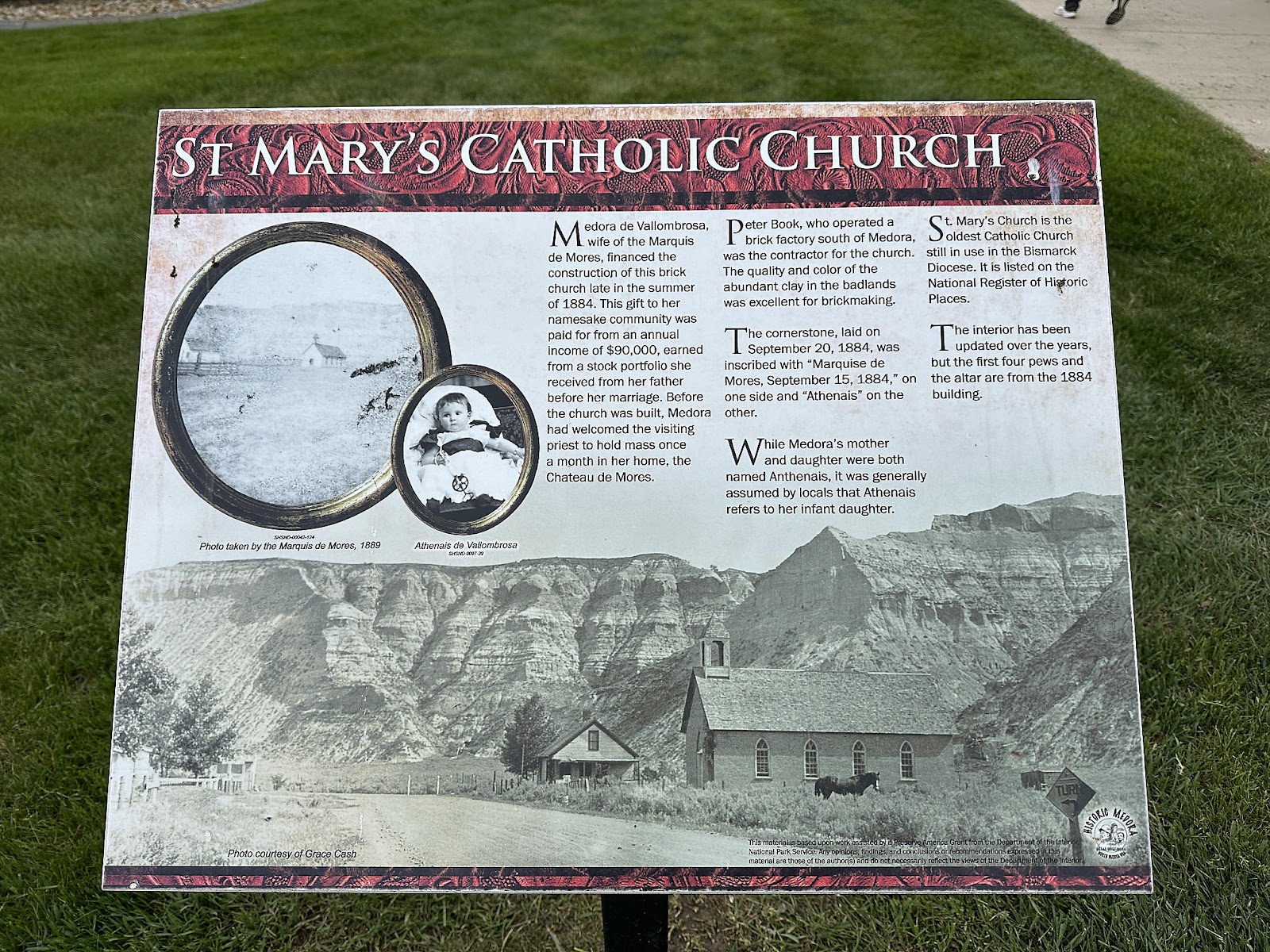
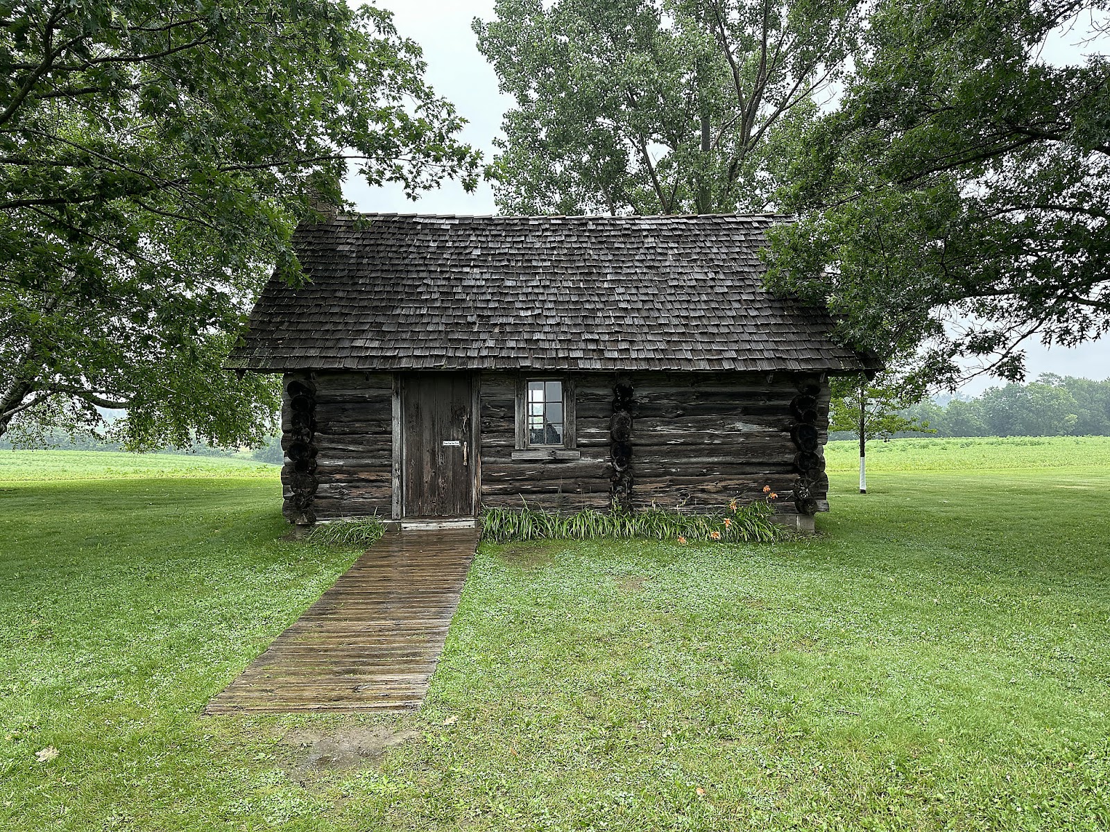
A search for a library in Medora that might have free WiFi turned up the "Billings County Resource Center" so we headed back into town. We parked outside the Center and decided to explore the town before settling down to work on the "Nebraska, Part 2" blog post for the rest of the day. It's a cute little (only a few square blocks) town, with a number of gift shops and restaurants. Its claims to fame include 1) being where Theodore Roosevelt used to hang out with his friend the Marquis, back in his ranching days, 2) an annual musical put on during the tourist season (which we were unfortunately a little too early for), and 3) being the filming location for a little known 2001 film named Wooly Boys (which we'll have to hunt down when we get home).


-----
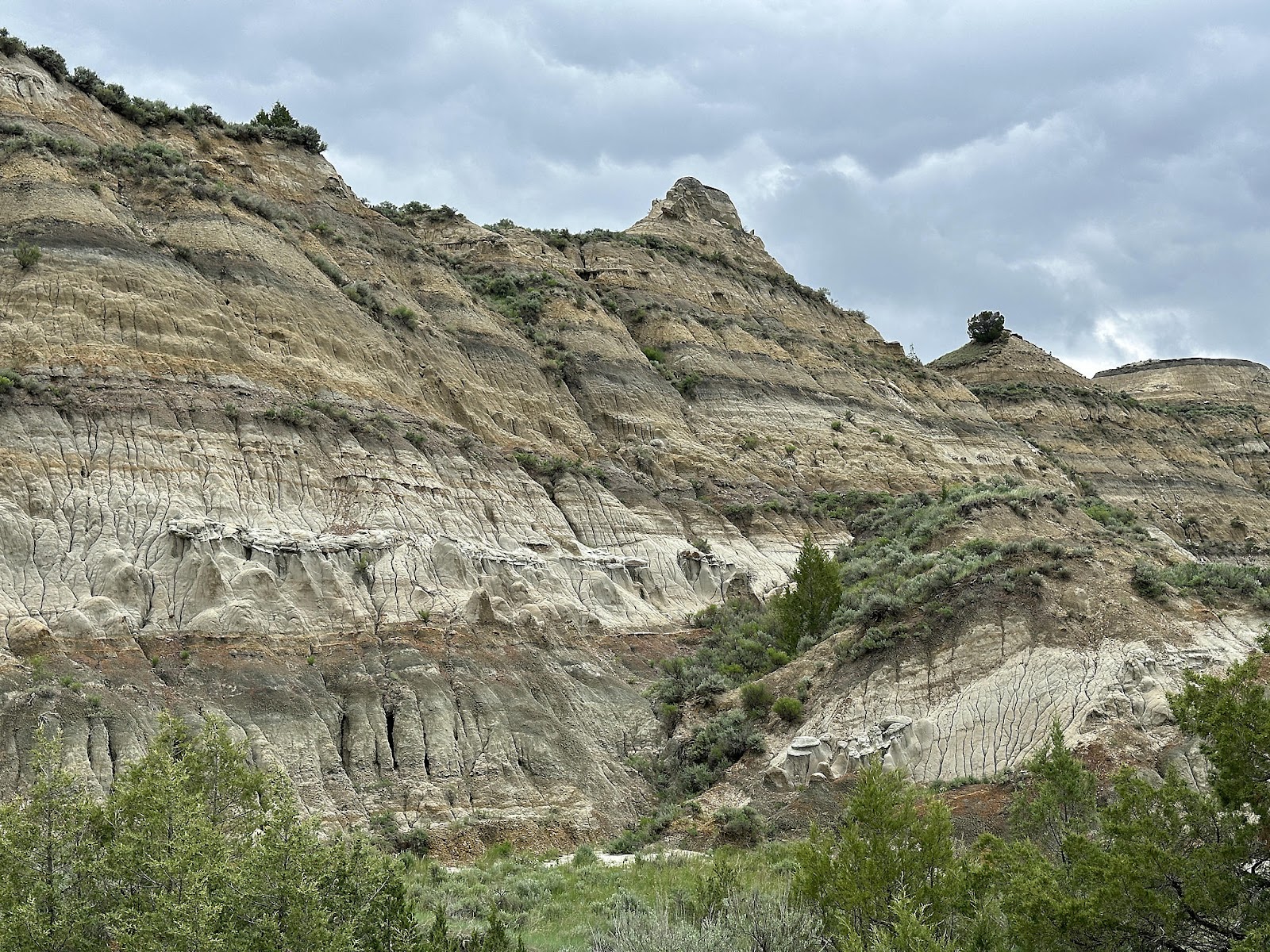
Thursday morning we were up at 8 a.m. for our transition to the North Unit. After topping off our water tank, we drove out the East River Road for the last time, having what's probably our second closest encounter with a bison of the trip (the first being the 11 p.m. jump-scare side-of-the-road-bison coming back from Mount Rushmore).


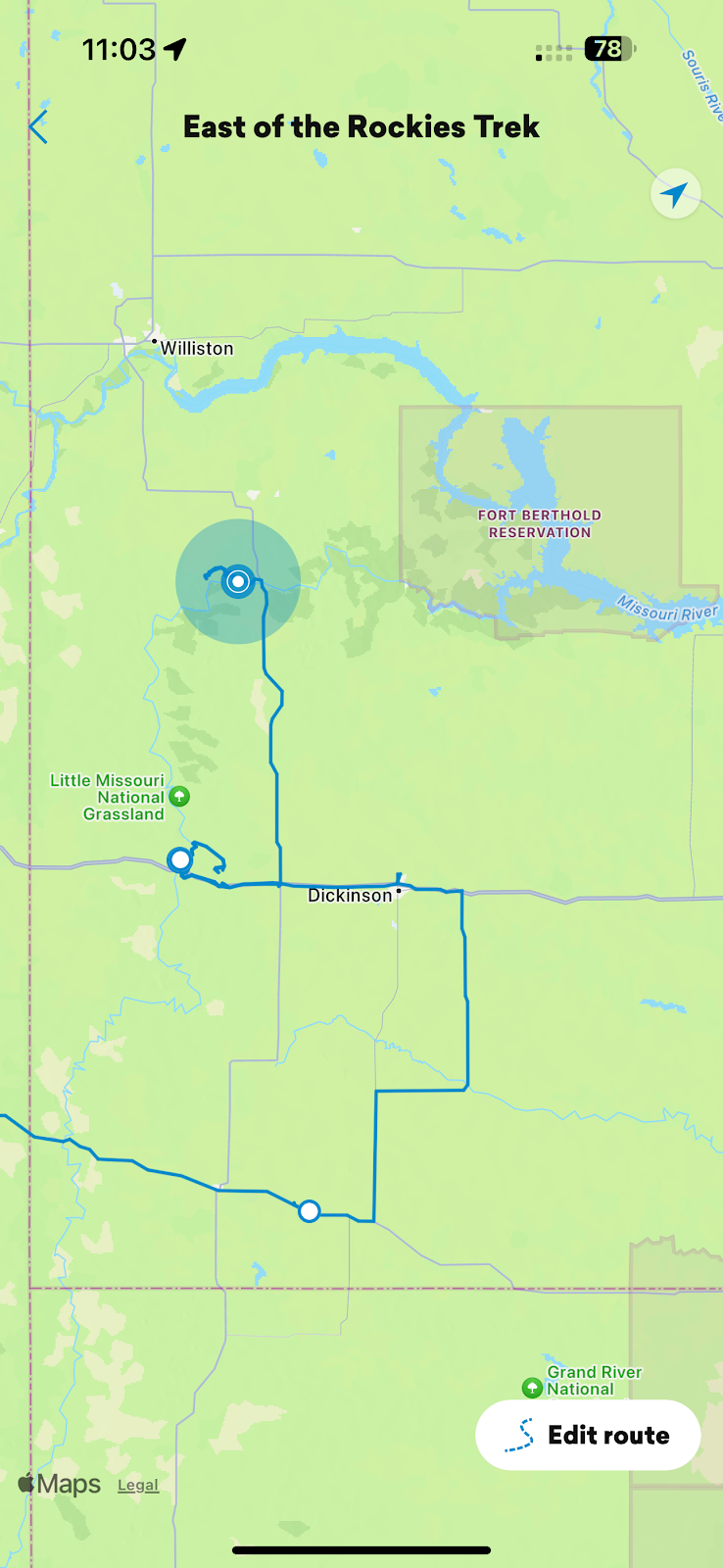
The drive to the North Unit only takes about an hour and twenty minutes (74 miles), but because the South Unit is in Mountain Time (yes, the southwest corner of North Dakota is in a different time zone than the rest of the state, which seems to make no sense geographically) and the North Unit is in Central Time we didn't arrive until "noon". We started at the Visitor Center to get our bearings.


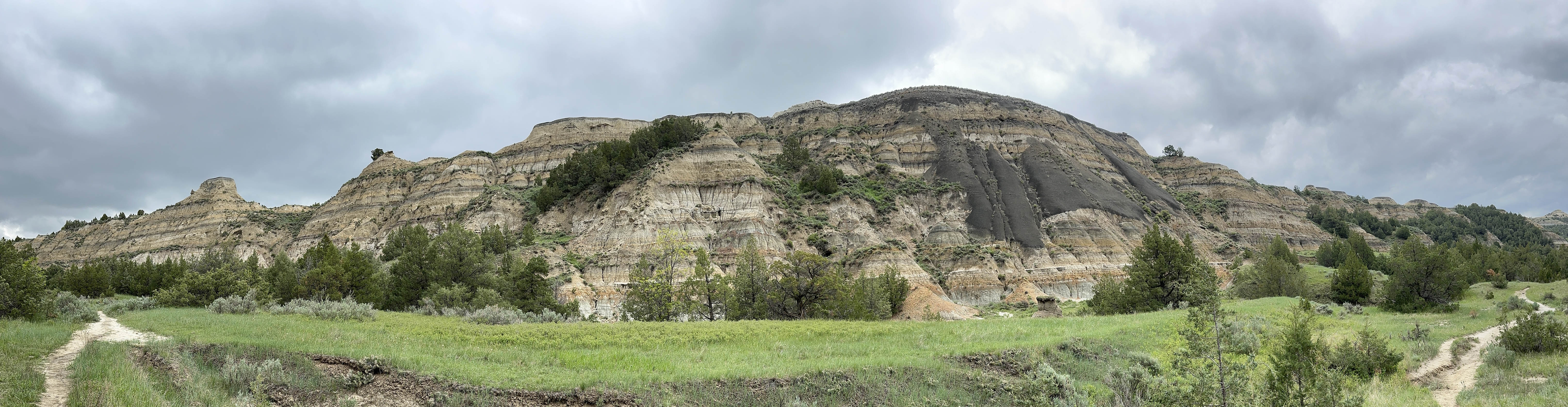
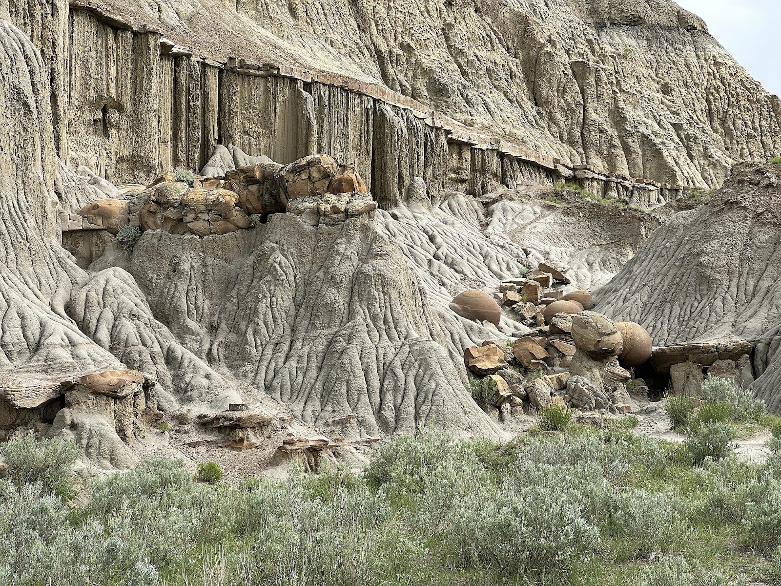
Petrified wood high up on the hillside (we'll have to take their word for it, since we weren't about to climb up to check it 😉).
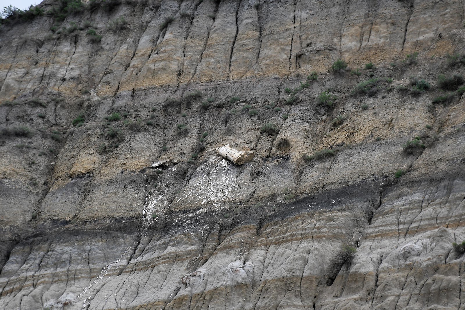
A "slump" is when a section of hillside breaks loose, and slides down intact (as opposed to a landslide, where the earth and rock break apart on the way down). The slump retrains the same layering as the hillside it came off of, like in the next photo.


A little after 2:30 p.m. a light rain did begin to fall. Our hiking boots managed to keep things pretty stable, though - on the flat portions, at least.


Rumor had it that the few bighorn sheep remaining in the park keep to the rear section of the park. Thinking that the rain might draw them out (and since we were already halfway through the park) we decided to drive to the end to see what wildlife we could spot. The answer was: "just more bison". At the end of the road was the Oxbow Overlook, though, so we hopped out for a quick (rainy) photo.

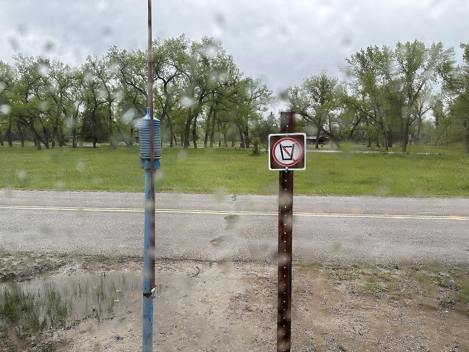
We drove a little more than halfway back through the park to the Juniper Campground, where we'd be staying the night. On the way in, we stopped to check out the dump/fill station (as we do at every campground, so we know what to expect when we need to use it) and were confused to find that the water fill station had the "non-potable water" symbol on it.
-----
It was still drizzly Friday morning, but overnight Tom had decided that since this was our last access to any sort of dump/fill for awhile - and he was unwilling to put any sort of non-potable water into the T42's fresh water tank - it was time to whip out the Water Bandit we had been carrying around with us for the past year, but never had the need to use before. We pulled up as close to the bathroom spigot as we could and hooked up our hose + pressure reducer + filter through the Bandit, using the worm drive clamp we also carry to secure the bandit to the threadless potable water faucet. Our first attempt to fill resulted in the silicon and brass parts of the Bandit flying apart, apparently unable to deal with the back pressure from our pressure reducer. Tom reassembled the Bandit and used the clamp to hold the two Bandit parts together, and then held the silicon sleeve around the faucet by hand (with a mental note to buy a second worm drive clamp at the next hardware store); that was awkward since he also had to hold the spring loaded faucet knob at the same time, but we managed to get our tank filled with clean water.
Low water pressure at the dump station made black tank flushing an incredibly slow process there as well. All in all, we found Theodore Roosevelt to not be particularly RV friendly - having one campground with potable water but no dump, and its other campground with no RV-usable potable water and a substandard dump.
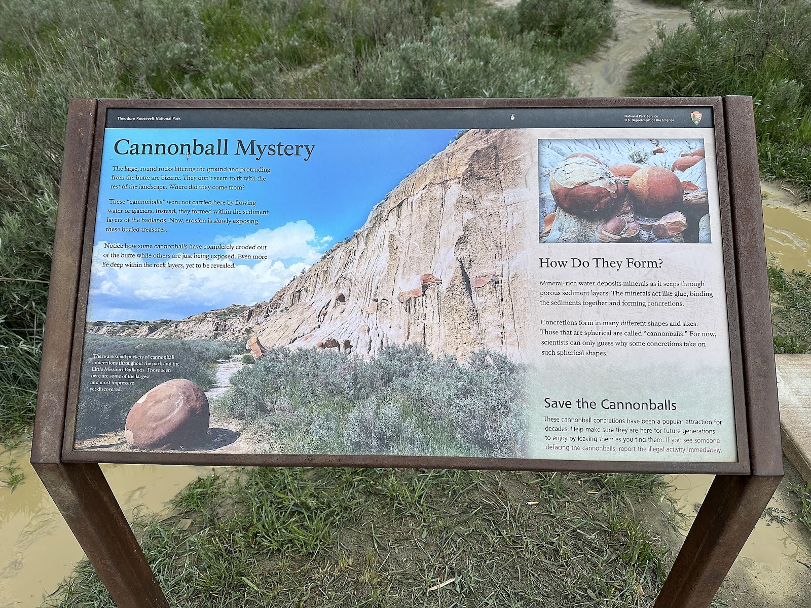
Our housekeeping woes behind us, we stopped to see the Cannonball Concretions across the street from the campground. They're kind of cool - perhaps more so because no one knows exactly why they form they way they do. (Unfortunately, the rain rendered the paths a muddy mess so we were only able to view them from a distance.)


Since the rain had finally stopped, we decided to drive out to the far end of the park again...


-----
Just before 3 p.m. we stopped at Frieds Family Restaurant in Mandan to try some North Dakotan “regional specialties”.
- Knoephla soup: dumplings in a thick potato and chicken soup (salty and almost like a thick stew). It was "all right, but nothing special".
- Cheese buttons (more like giant raviolis than “buttons”), with a toasted bread gravy on top; served with sausage on this particular day. These were unique, and quite tasty.
- Caramel roll - kind of like a cinnamon roll with a caramel topping. What's not to like? 😉


----
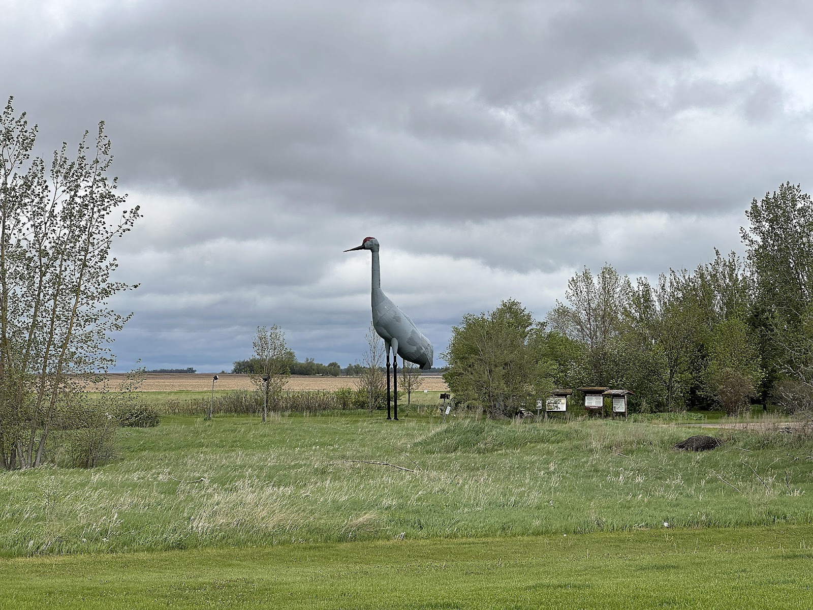
Around 5:40 p.m., we stopped in Steele to see the World’s Largest Sandhill Crane. A temperature of 54 degrees and high winds meant that Christine admired the crane from inside the van.


-----
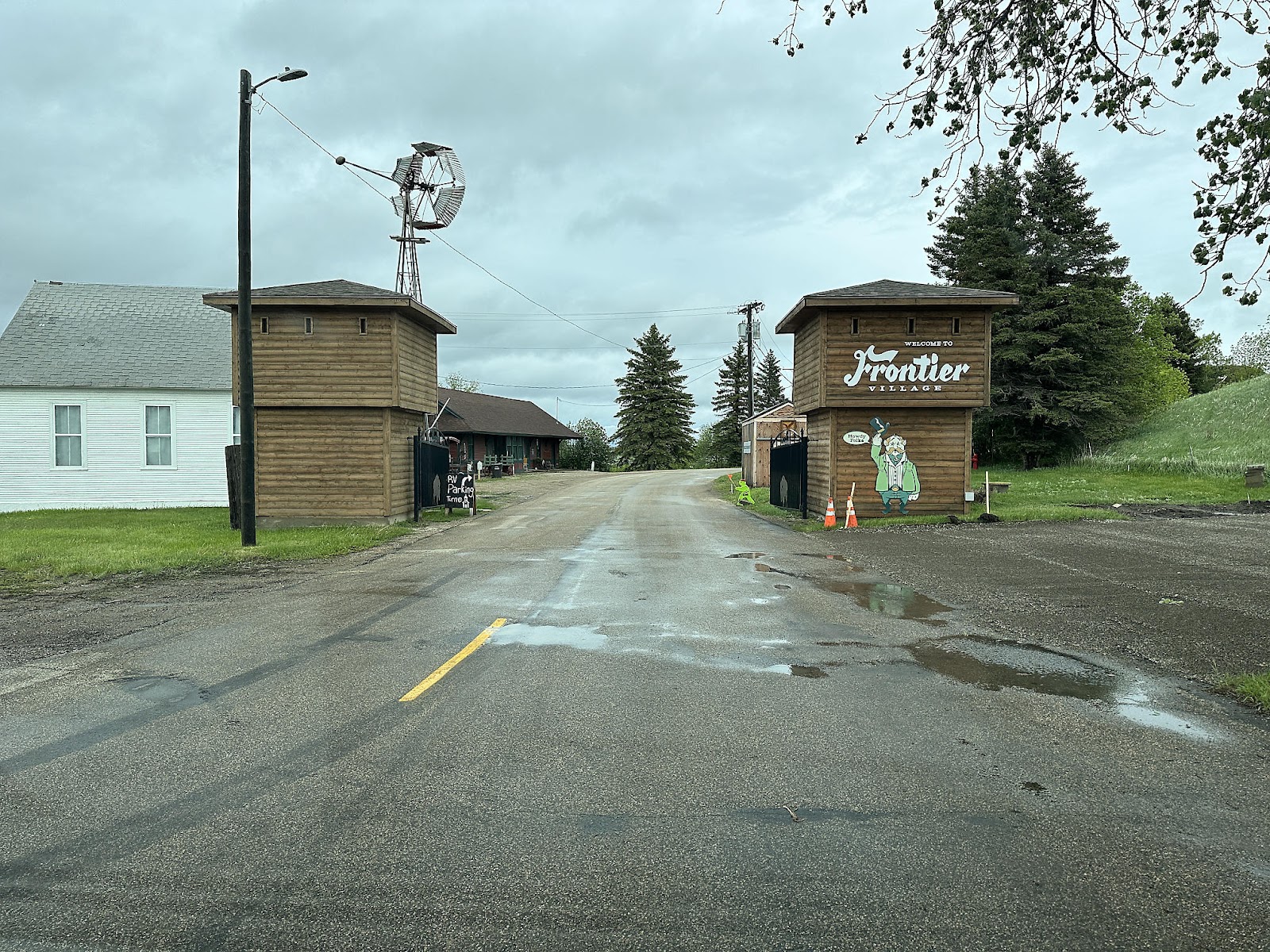
We pulled into the city of Jamestown around 6:45 p.m., where we went to see the World’s Largest Buffalo (Dakota Thunder) who lives at the end of his own little frontier village.


We had a choice that evening of either staying in the Rest Area or Walmart for the night. The Rest Area had the fastest public WiFi we've encountered (230 Mbps down, 173 Mbps up) and looked like it might be the winner as we spent the evening there working on the "Facts and Figures from Month 1" blog post. But the freeway noise was quite loud there, so we decided to move on to the Walmart instead


We'd be leaving North Dakota in the morning, continuing our adventures southward.

Comments
Post a Comment