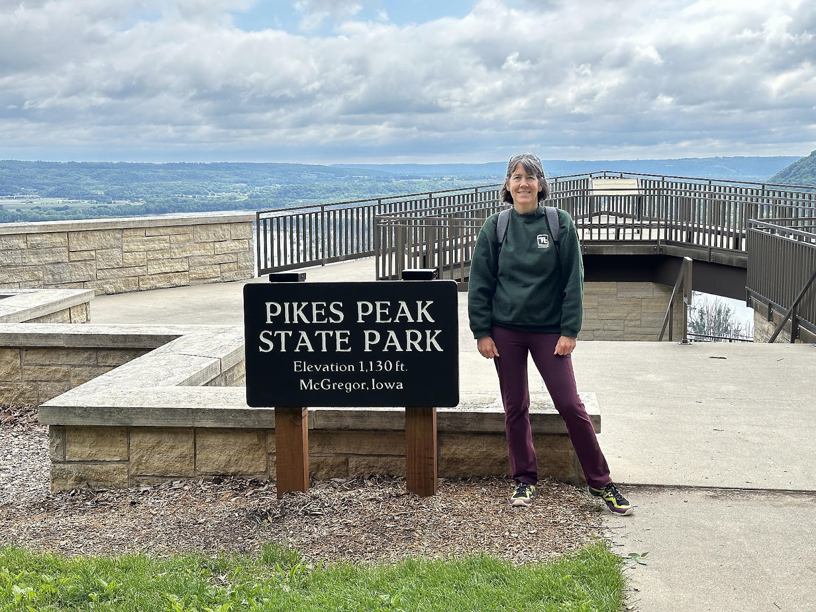
As we drove toward Pikes Peak State Park yesterday, Tom asked "Haven't we already been to Pikes Peak? And wasn't it in Colorado?" The state park in Iowa is named for the same man, but unlike the much higher peak in Colorado that ol' Zebulon Pike never actually ever made it to the top of (but is named for him anyway), the Iowa site was actually visited by Pike himself in 1805 when he was sent by the government to select a site to build a military fort. Although Pike selected the site of the current park for the fort, the government chose to build the fort across the river instead. Your 1805 tax dollars at work!
(Editor's note: don't forget to check out Trailer 2 - "Other Gorge-ous Falls of New York [240809-15]", if you haven't already!)
-----
We decided to start our Tuesday morning by hiking the Deer Ridge Trail, which started by the campground and runs along the Mississippi River, to the Overlook. True to its name, we saw two deer on the trail - but not being the docile people-familiar deer of Yosemite, these deer took off down the the hill as soon as we spotted each other and we couldn't get a photo of them.
From the Overlook, we continued onward onto the Bridal Veil Falls Trail to see the falls. Along the way, we passed by Bear Mound - a Native American "effigy mound"; more on effigy mounds down below.
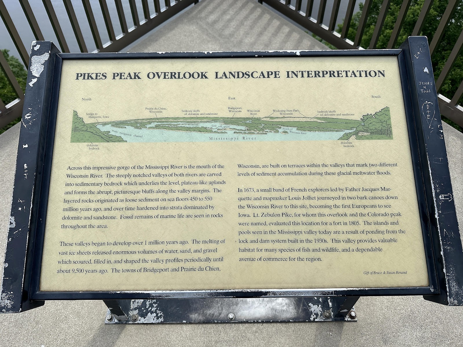
We also passed by the Crow's Nest overlook, which - aside from being pretty cool looking on its own - provided a less obstructed view northward than the main overlook did, so that you could catch a glimpse of the Marquette-Joliett Bridge in the distance.
The trail became boardwalk for a goodly part of the hike. Bridal Veil Falls itself is proof that Iowans either have good imaginations, a good sense of humor, or both.
Apple Weather had forecast only a 20% chance of precipitation for the morning, so we thought we'd be safe on our hike. But as luck would have it, it started raining on us while we were at the falls - lightly at first such that the trees were able to shield us, but quickly getting to the point where it was coming through the trees and getting us fairly wet. We eventually made it to a parking lot with a covered picnic area, where we waited out the worst of the cloudburst before finishing the rest of our hike back to the T42 at the campsite in the light rain. Total hike was a scant 1.64 miles with 270 ft. elevation gain; our fitness apps don't award bonus points for running uphill through the rain. 😐
-----
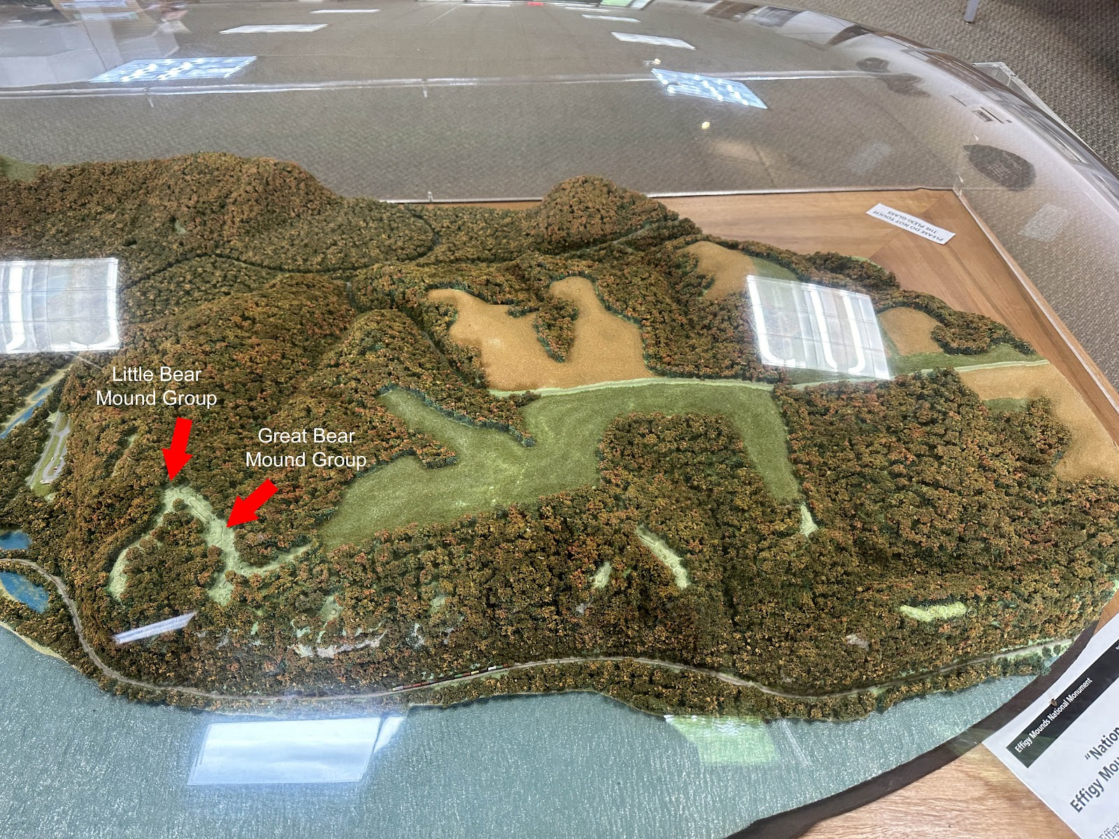
Driving to the park the previous evening we had seen the signs for the Effigy Mounds National Monument and - it being completely off our radar - had stopped by for a quick look. The Visitor Center was closed at the time, but from what we learned online later that evening we decided it was worth a return trip. The three signs below from the Visitor Center museum explain what the Effigy Mounds are.
As you can see from the photo of the state park's Bear Mound above, it's
really hard to see what the mound is supposed to look like when you're standing at ground level looking at it. The Monument has 200 mounds in it, and the photo of this model of the Monument has been marked up to point out two of the mounds we hiked out to see, so that you can see what they'd look like "from the air" (yes, you'll have to learn how to
view images at full resolution, if you haven't already, to see that part of the model up close 😉).
The first set of mounds we encountered were the uncreatively (but aptly) named "3 Mounds". Don't strain your imaginations on this one: they're just plain little humps, not shaped like anything in particular.
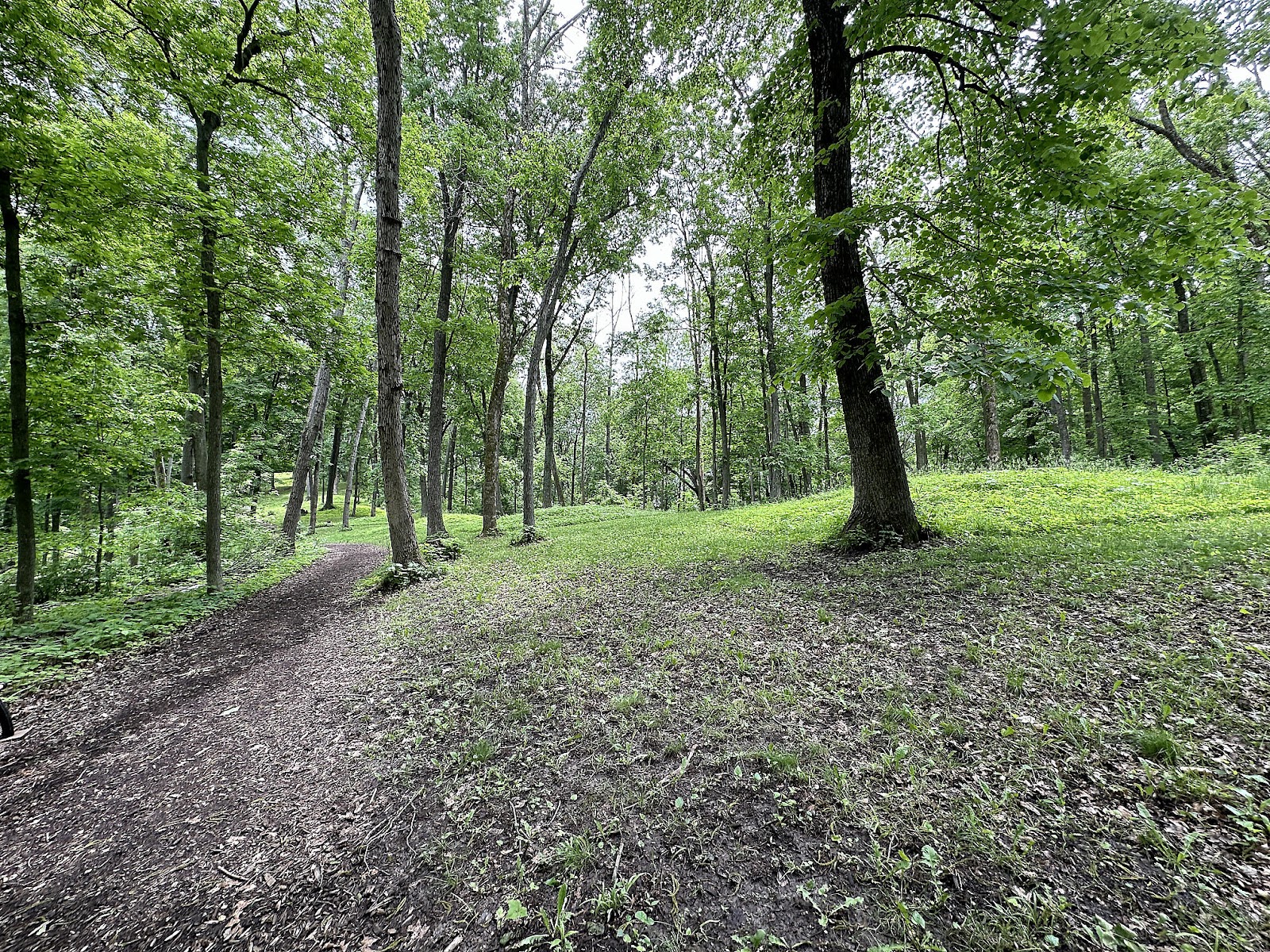
The trail climbed up to the rest of the mounds.
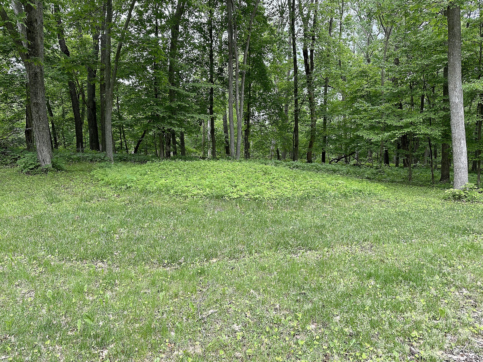
We arrived at the Little Bear mound group 15 minutes later.
A short distance up the path was the Great Bear mound group.
Then we turned down the trail that led to the Fire Point Scenic Vista. Along the way, we passed by the Fire Point Mound Group. Included below are a couple of displays from the museum that describe the layout of this particular group.
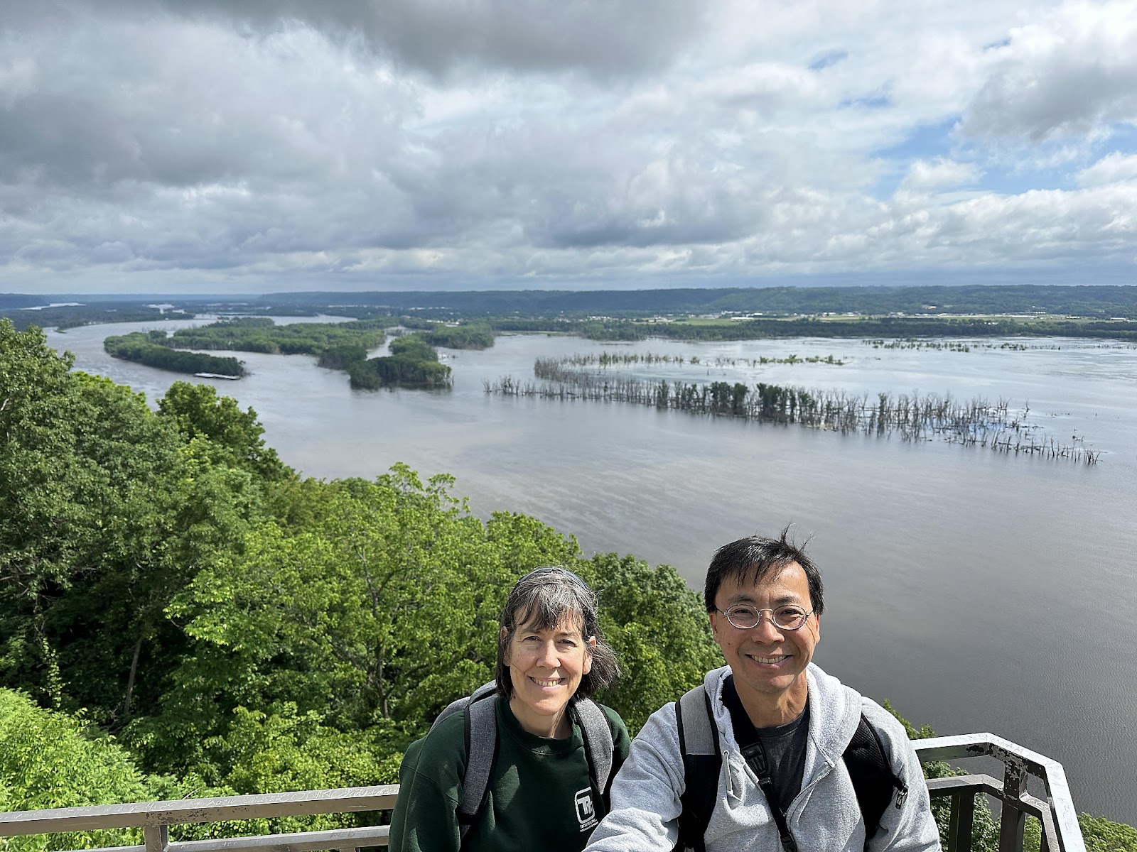
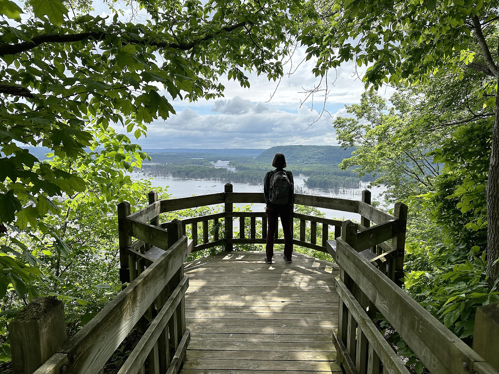
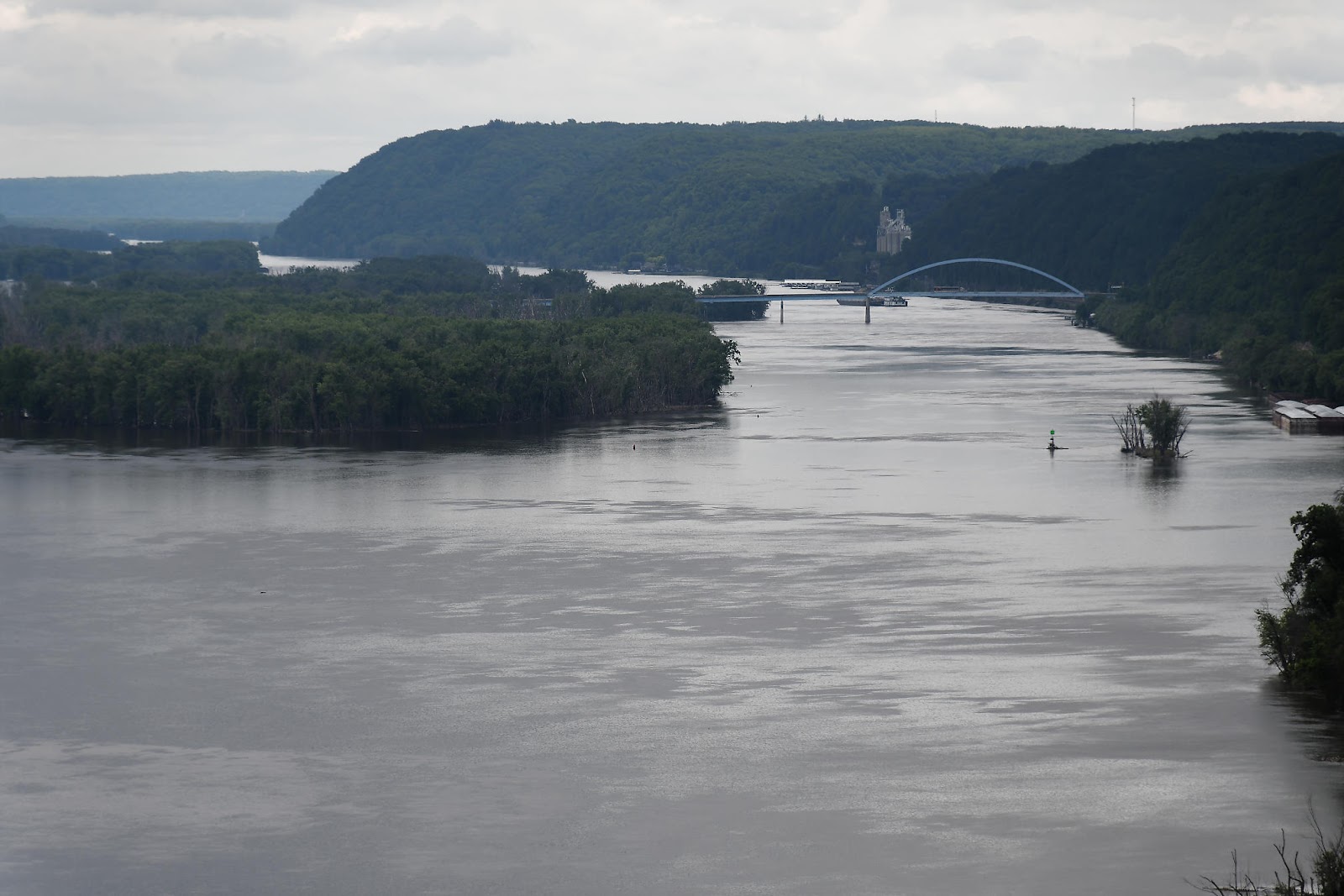
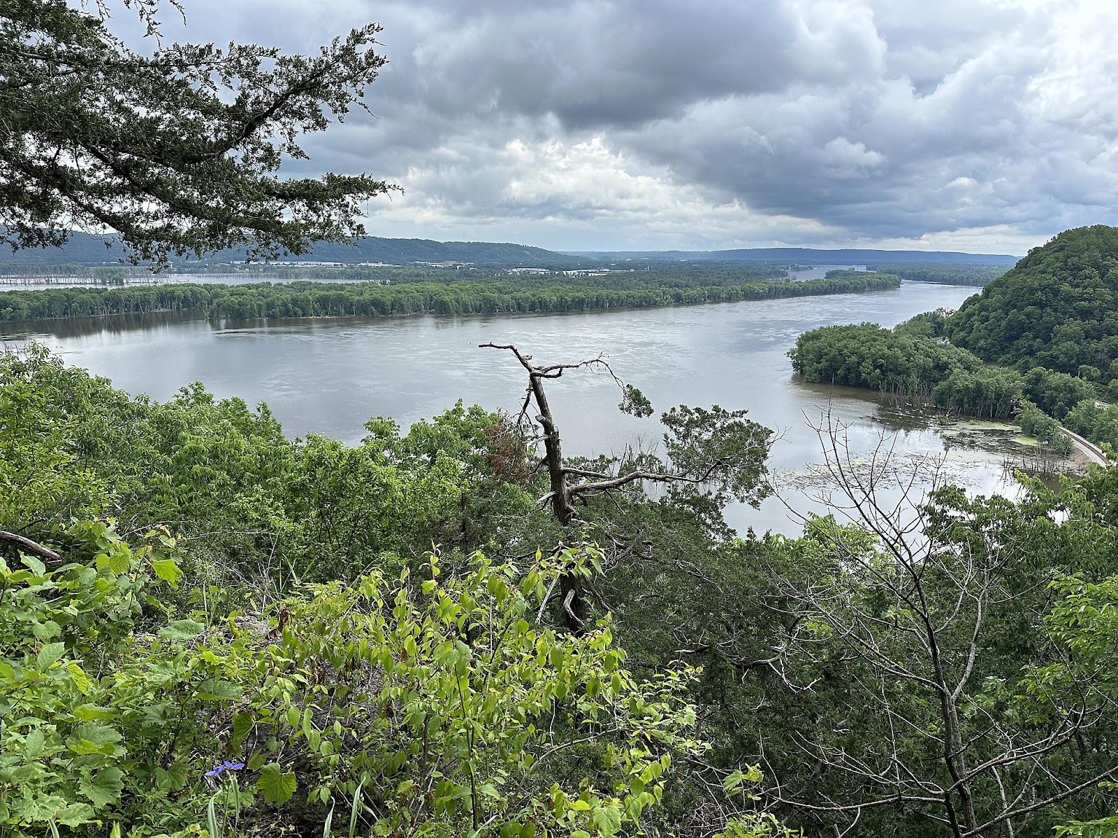
The Fire Point Scenic Vista itself provided more views of the Mississippi River.
More views of the Mississippi from Eagle Rock. (Note the lack of any actual
eagles, though.)
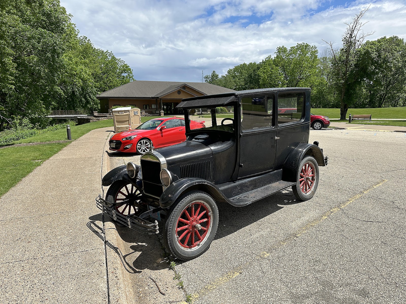
As we were walking back to the T42, we noticed that someone had driven their olde tyme automobile (a Ford Model T, we're guessing?) to the Monument, so we had to take a couple of photos of it just for fun.
Driving back through Marquette, we got a photo of its famous
Pink Elephant (no, we had no idea why there was an enormous - but well dressed - pink elephant standing by the side of the road when we first saw it; we had to look it up later 😉).
And this is the main street of the little town of McGregor, which you have to pass through on your way to/from Pikes Peak. Unfortunately they're doing construction on the far end, so they're detouring all through-traffic on a parallel residential street that is extremely narrow and that they apparently didn't feel the need to repair the numerous potholes on before starting the work on the main street. 🙁
-----
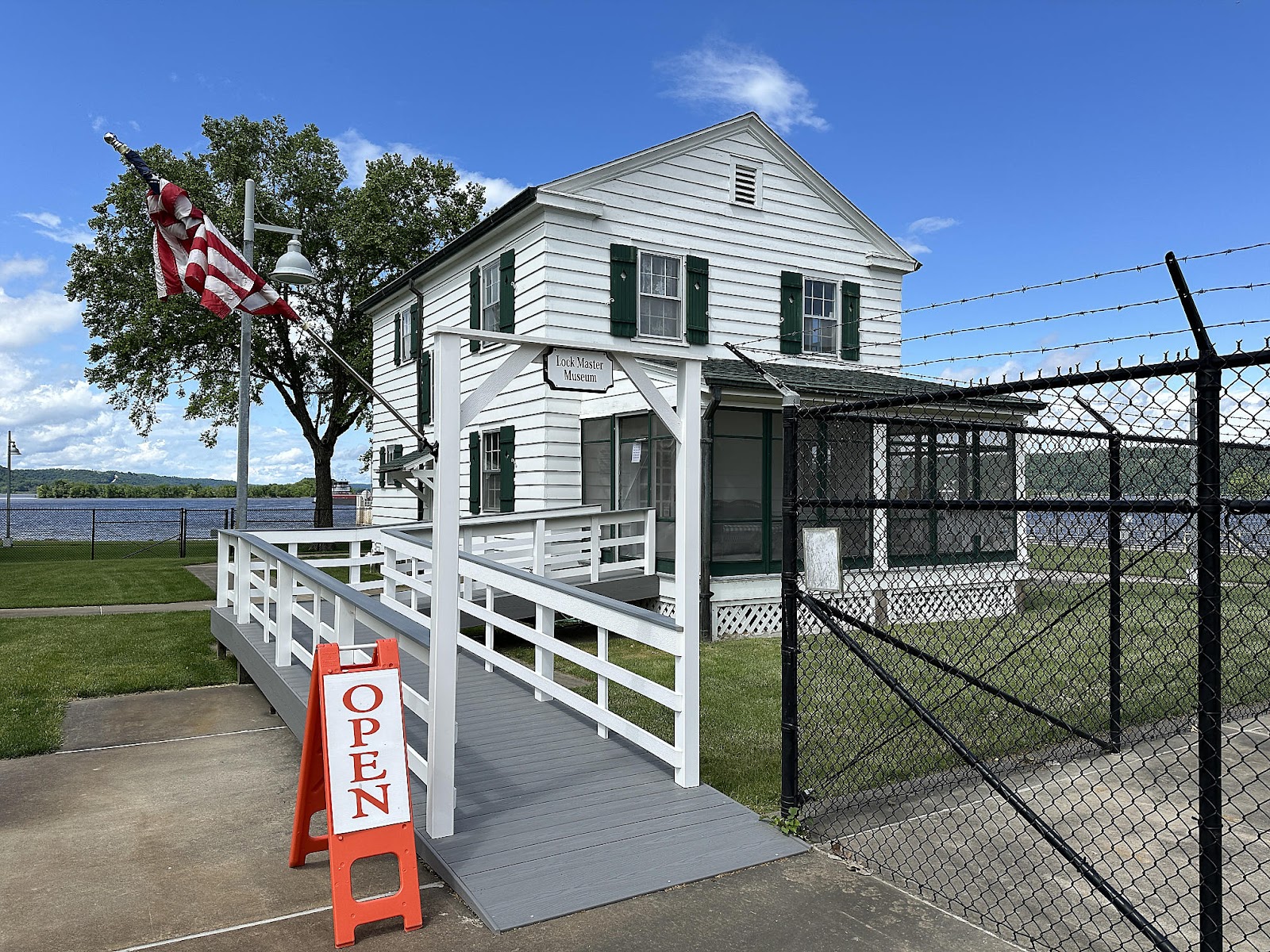
Our route to our next destination had us passing through the city of Guttenberg, which has a lock and dam with an observation platform where you can watch the ships going through the lock. We were lucky enough to have a barge pass through the lock while we were there, so Tom took a time lapse of the process.
To us while watching, the water level didn't seem to fall perceptibly during the process. And looking at the measurements on the the far wall afterwards, the newly exposed black mark seemed to be well less than a foot tall.
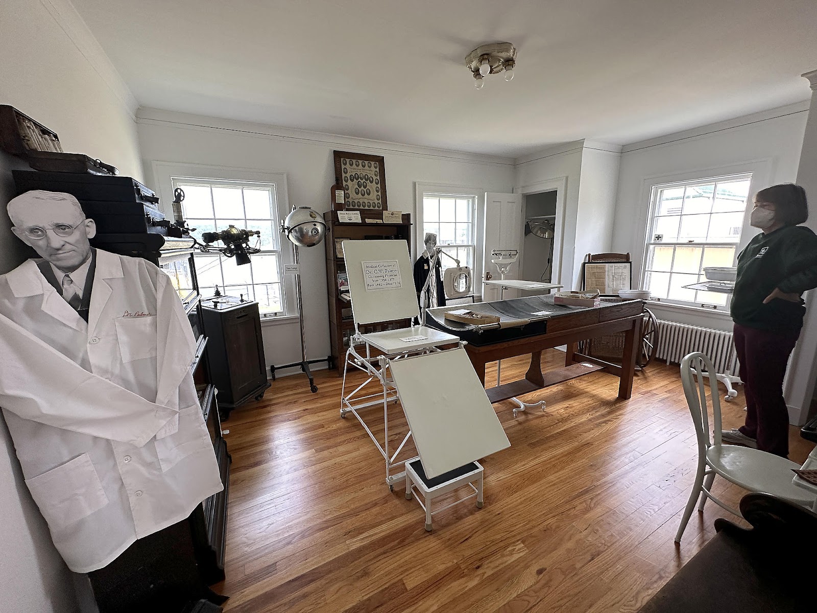
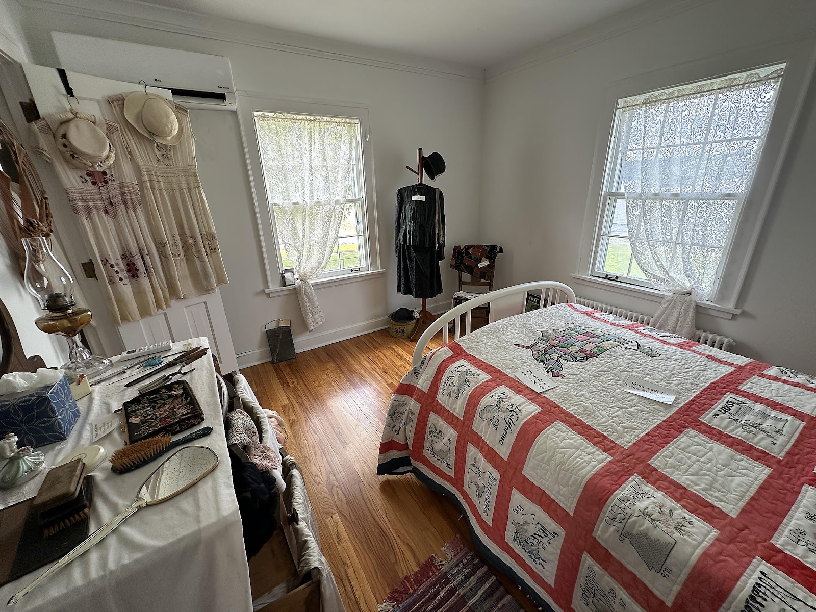
Afterwards, we browsed the old Lockmaster House next door, which has now been turned into a museum.
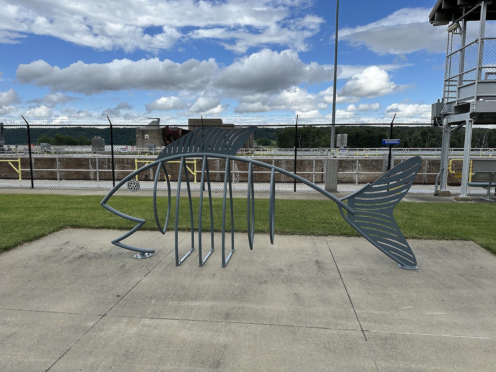
On our way out, we noticed these really creative bike racks by the lock.
And this turtle came to see us off in the parking lot.
That evening, we arrived at our next destination, Maquoketa Caves State Park, just as it started pouring rain again. But (spoiler alert!) the storm passed by overnight, as evidenced by the site photo taken the next morning.


Comments
Post a Comment