Illinois, Part 2 - Matthiessen State Park [240531]
Our plans for the Starved Rock area included spending some time in nearby Matthiessen State Park, which was just a few minutes down the road. We had asked about hikes there at the Starved Rock SP Visitor Center the day before, and the volunteer had drawn us a route on a map that went through a residential area and down a narrow one lane, pothole-filled dirt road that runs along a golf course to a small little dirt lot with limited parking. We're not exactly sure why she sent us there, since we found out later that the official/main parking lot is much larger and easy to access, with its only apparent possible downside being that the path from it puts you "in middle" of the canyon instead of at one end.

-----
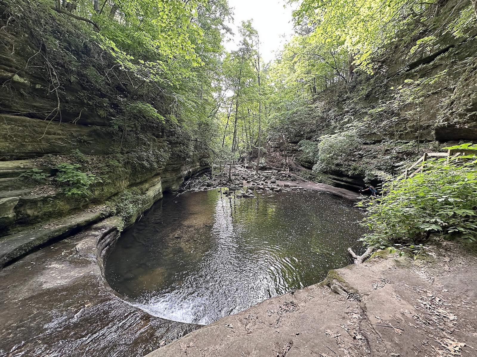
We set out early in the morning knowing that our target parking area was small, and ended up being the first to arrive. The trail from the parking lot put us at the point where Matthiessen Lake empties into the canyon, forming the river that runs through it. Trail choices from there were pretty much to either take the Bluff Trail (loop) around all the falls, or go down into the canyon to walk along the river; we decided to start by walking along the river. The stairs to the bottom of the canyon dropped us a short distance away from Lake Falls - which was very pretty, but there didn't seem to be a way to get close without getting your feet wet. 🙁


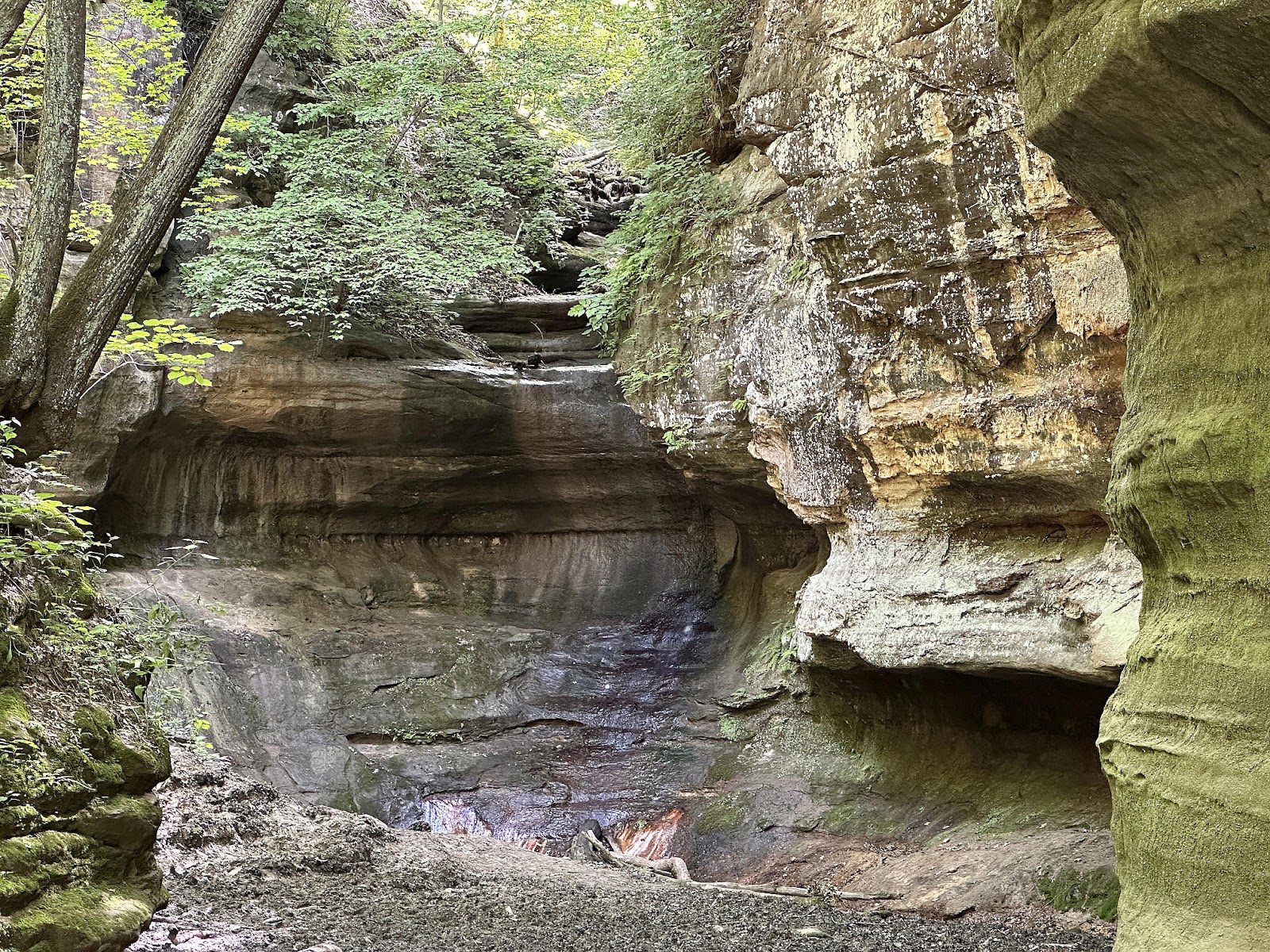
Near Cedar Point, Tom found a side spur with a cascade along the way and then a hidden water fall at the end of it.


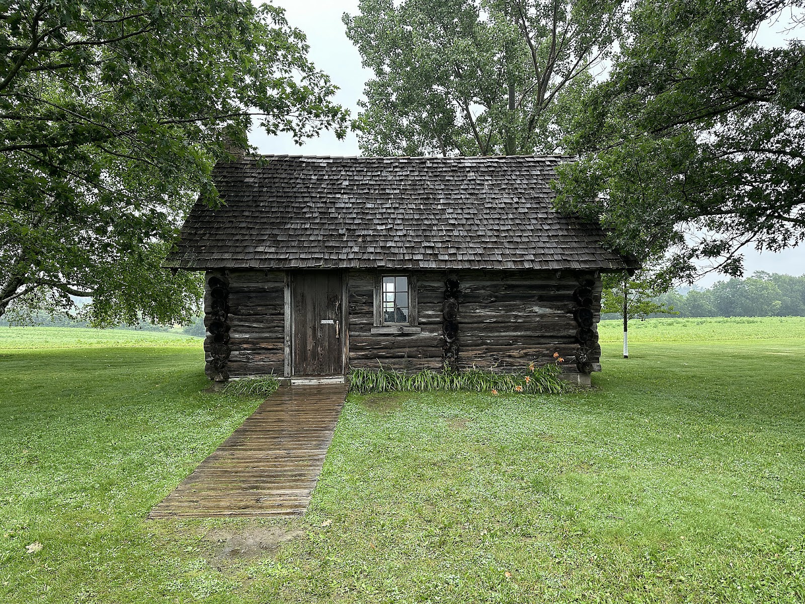
Since we had to surface anyway, we walked a little further up the hill to what is labeled on the map as the "Fort", which was something of a disappointment - basically a single tower with no fence, and a "maybe associated, maybe not" log cabin nearby. The area did give us a glimpse of the official/main parking lot, though.


One benefit of going up to the Fort, however, was that we finally got our first look at some of the cicadas that had been making all the noise up in the trees, as a few had come down to sit along the path.

Continuing clockwise along the Bluff Trail, we finally found what was marked on the map as "Strawberry Rock". We think that a goodly amount of imagination was used in the naming of this particular rock, which they apparently didn't feel good enough about to actually place a sign (or any other sort of marker) in front of.

At the far end of the Bluff Trail loop we found another set of river access stairs that let us back down into the canyon.

We peeked into the Devil's Paintbox, but the ground there was much too muddy to try walking in for a closer look.

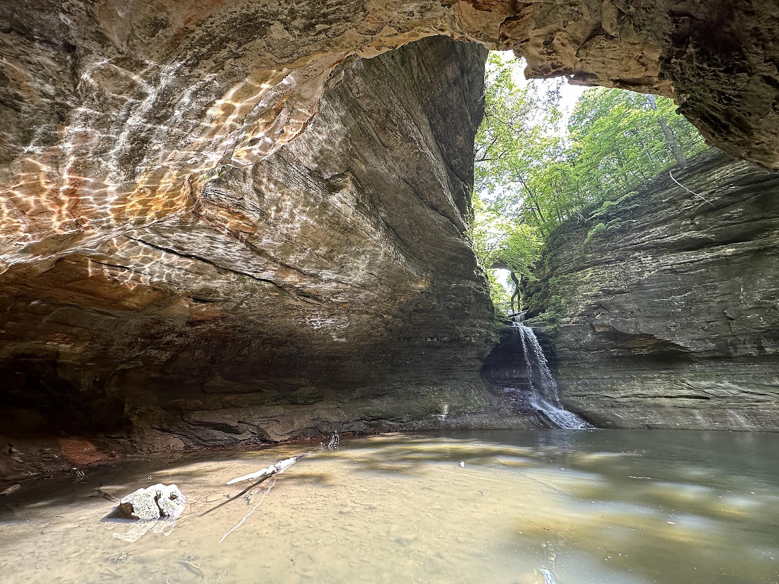
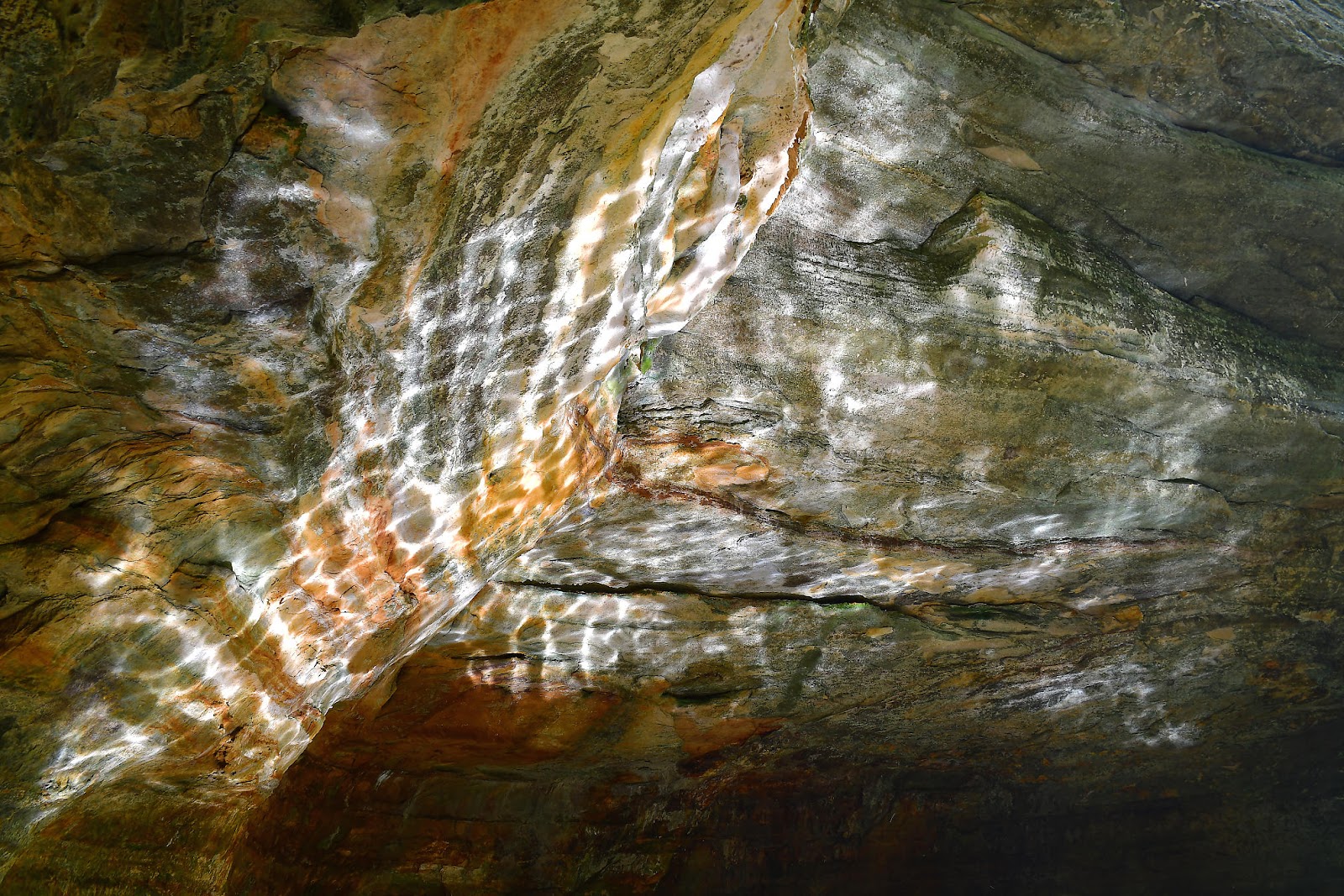
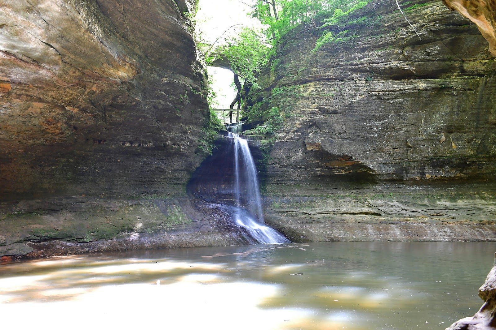
We continued hiking back up the canyon to Cascade Falls, which the aforementioned gate had kept us from getting to before. It was worth the (somewhat muddy at times) walk back up the canyon to see. The falls itself is pretty, but there's a concave wall on the left that was catching the reflection of the sun off of the pool below the falls. That same wall also had a small cave you could walk across stones to get to, that had a tunnel that brought you to the front side of the reflecting pool.


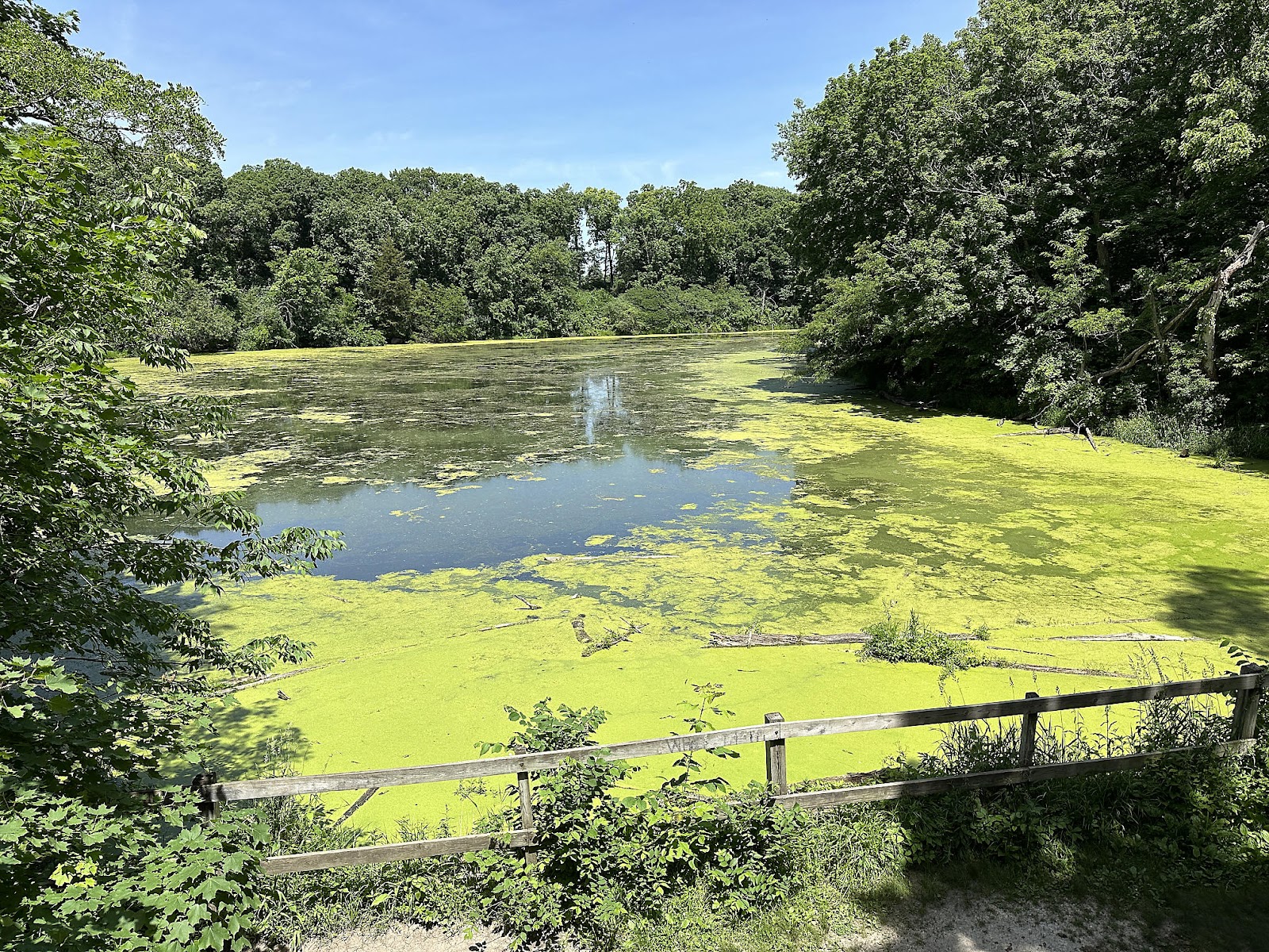
Back up top, we took a picture of Matthiessen Lake on our way out. Not exactly the prettiest thing we've ever seen, but we're happy that it feeds all the gorgeous water features in the canyon down below.
Back at the T42, we used the shower sprayer behind the back door (for the first time ever, other than as part of plumbing fixture sanitization) to rinse off our feet while the cicadas serenaded us from the trees overhead - loudly.


Comments
Post a Comment