"Oklahoma, Where the Wind Comes Sweepin' Down the Plain" [240709-11]
This post covers the two days (spread across three calendar days) spent crossing Oklahoma, where we swapped out the T42 for THIS baby on Route 66. 😜

The drive that day through the Texas hill country was windy and rainy (with the occasional tornado watch in effect - we didn't see any, though). The most notable event from the drive was that we finally had our first "Travato sighting in the wild" when we were passed by a gray Travato with Oklahoma plates in one of the towns; we smiled and waved to each other as she drove passed.
We crossed the border into Oklahoma around 3 pm. The folks who wrote that song weren't kidding about the winds; while not quite as bad as the AZ/NM wind storms of a few days ago, the winds have been fairly aggressive on and off. Oklahoma, like Texas, doesn't appear to have Rest Areas like we do on the west coast (Texas has road side "Picnic Areas" that are parking lots with tables, but no restrooms) so we've been glad to be carrying our own bathroom with us. Another random tidbit we noticed about Oklahoma: their houses don't have garbage cans like we do in CA; instead on the residential streets there's a dumpster at the curb every few houses or so (we assume to be shared by a number of houses).
After 6.5 hours of drive time, we arrived at the Sayre RV & City Park, our stopping place for the night, around 4:40.

Since it's a FCFS (first come, first served campground) we got to pick our own spot. The campground wasn't very busy (only 3 other RVs when we pulled in) so we decided to park in one of the larger paved RV pull-through sites instead of one of the smaller sites we could have fit in, because the latter were on grass and we were afraid of getting stuck in mud if the sleety rain that was falling continued for long.
Rather than drive around the Park (with its large puddles that could be concealing potholes of unknown size/depth) we decided to go on foot in the rain to pay for our site, locate the bathroom/shower, figure out where the dump station was hiding (apparently on the main road, so you don't have to be staying in the Park to use it) and proceeded to track red Shasta-caliber mud onto our entry rug on re-entering the van. Since we were already slightly wet from the rain, we decided to make use of the shower facilities before dinner. The bathrooms were much older (run down) than the ones at Oasis, but the showers were again free - and had normal water pressure.
Dinner that night was leftover rice with Lampasas BBQ leftovers. In the evening, we were treated to a sizeable thunder and lighting show while working on the Lampasas blog post. It was a chilly night, in contrast to the hot nights we had just experienced in Lampasas (thank goodness for the RVSuperbag that we could just flip back over into winter mode again).

-----
The sun was out the next morning, and most of the puddles had amazingly dried up. We visited the dump station on the way out, which ended up being a bit of challenge because the dump port was hard to find (having a type of cap we had never seen before, with an even more confusing decoy cap closer to the road) and our standard hose was barely long enough to reach. The winds had also returned, so Christine had to brace the doors "just in case" while Tom worked.
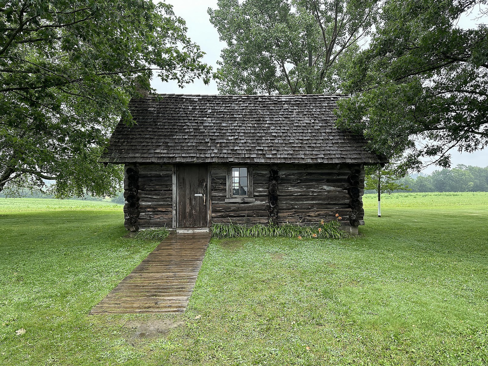
Our "hard core driving" days being behind us for awhile, we had a chance to see some sights on our drive on Wednesday. Our first stop was about hour north: the Washita Battlefield National Historic Site.


Given the time, we decided to not walk the trails through the battlefield but rather continue onwards instead.
Our next stop was another hour east in Clinton: the Oklahoma Route 66 Museum.


(Now that's a camper van! 😉)

(Tom's parents used to own a silver Rambler!)

(From 1938-73 if you wanted to open a diner of your own, you could order a pre-fabricated Valentine Diner like the one on the right. Originally priced at $5000, it would be shipped by railway car and come complete with a grill, L-shaped counter, 5-10 stools, and an optional take-out window, and could be set up and operational within hours.)
Another half hour up the road took us to our stopping place for the night in Weatherford: our first "Wallydocking" (i.e. overnighting in the Walmart parking lot; something that most communities have local ordinances preventing in CA, but is still allowed in many parts of the country) experience! After checking in with Customer Service to make sure it was okay at that particular Walmart (friendly CS person told us we were welcomed), we picked up a few groceries and then settled in to the far corner of the parking lot for the night. Many big rig trucks cycled in and out before dark, but here's what things looked like around bed time (after a dinner of fresh IP rice and more BBQ leftovers):

Total drive time for the day was only 2 hours and 15 minutes.

-----
We headed east around 9 am Wednesday, with our first stop being Pops 66 Soda Ranch a couple of hours up the road - on Route 66.


Then we had a choice to make. According to Google Maps, for the next leg of our trip we could either get on the I-44 (Turnpike) and pay tolls, or stay on Route 66 and arrive a half hour later. We decided that since we haven't been driving anywhere near the posted speed limit since we left CA, paying to use the Turnpike didn't make sense and we may as well get as much of the "Route 66 experience" as still exists and take the slow road. Sights we whizzed by along the way included:


on the way to our next stop - the Golden Driller, in Tulsa:

Then it was on to the Blue Whale of Catoosa (built by hand by a 60 year old man "for fun" back in the 70's, and open to the public to use as a swimming platform; the fin is a short slide):


And finally we stopped by Ed Galloway's Totem Pole Park (also built by hand by a single man, over the course of almost 30 years). The 90 foot tall Large Totem is by far the most impressive:


We crossed over into Arkansas shortly after 5 pm, and had our second Travato "sighting in the wild" 20 minutes later in Gravette. We pulled into our camp site in Rogers, AK around 7 pm, after 7 hours total drive time.


Comments
Post a Comment